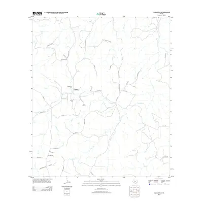
2012 Map of Crabapple
USGS Topo · Published 2012About this map
The settlement of Crabapple serves as the focal point of this Central Texas landscape, situated at a junction where Crabapple Cr meets several local ranching roads. Family heritage is deeply etched into the geography through numerous small burial grounds, including the Welgehausen Cem, Schmidt Cem, and Saint John Cem. These sites, along with family-named thoroughfares like Walter Welgehausen Rd and Hohmann Rd, reflect the generational landholdings of the region.
Find a feature on this map
57 named features on this map. Tap any name to fly to it.
Don’t see what you’re looking for? This feature index may not catch every label — zoom into the map to look around manually.
Map Details
Editions of this 2012 Crabapple Map
This is the sole edition of this map. No revisions or reprints were ever made.
Other maps of this area

1887 · Llano
USGS Topo · 1:125,000

1894 · Fredericksburg
USGS Topo · 1:125,000

1894 · Llano
USGS Topo · 1:125,000

1904 · Llano
USGS Topo · 1:125,000

1909 · Llano
USGS Topo · 1:125,000

1918 · Llano
USGS Topo · 1:125,000

1954 · Llano
USGS Topo · 1:250,000

1955 · Llano
USGS Topo · 1:250,000

1956 · Llano
USGS Topo · 1:250,000

1961 · Cave Creek School
USGS Topo · 1:24,000