
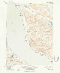
1951 Map of Craig C-1
USGS Topo · Published 1953About this map
Meyers Chuck sits along the northern edge of the Cleveland Peninsula in this 1951 topographic study, representing one of the few active coastal hubs in a landscape defined by maritime activity and resource extraction. The area's industrial history is starkly evident in the number of dormant operations recorded, including the Sleeping Beauty Mine and the Bert Lide Mine near Helm Bay.
Find a feature on this map
30 named features on this map. Tap any name to fly to it.
Don’t see what you’re looking for? This feature index may not catch every label — zoom into the map to look around manually.
Map Details
Editions of this 1951 Craig C-1 Map
2 editions found
Other maps of this area

1949 · Craig C-2
USGS Topo · 1:63,360

1949 · Craig D-2
USGS Topo · 1:63,360

1949 · Craig B-2
USGS Topo · 1:63,360

1949 · Ketchikan C-6
USGS Topo · 1:63,360

1949 · Craig B-1
USGS Topo · 1:63,360

1949 · Craig D-1
USGS Topo · 1:63,360

1950 · Craig B-1
USGS Topo · 1:63,360

1950 · Craig C-1
USGS Topo · 1:63,360

1951 · Craig B-2
USGS Topo · 1:63,360

1951 · Craig D-2
USGS Topo · 1:63,360