
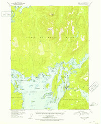
1951 Map of Craig C-4
USGS Topo · Published 1953About this map
Klawak (Klawock PO) sits at the heart of this coastal study, positioned where the Klawak River meets the protected waters of Klawak Inlet. The settlement, backed by a Pipe Line and an adjacent Camp Ground, serves as the primary human anchor on the western side of Prince of Wales Island. The surrounding landscape is defined by an intricate network of waterways and islands, including the Alberto Islands and the expansive Big Salt Lake to the east.
Find a feature on this map
49 named features on this map. Tap any name to fly to it.
Don’t see what you’re looking for? This feature index may not catch every label — zoom into the map to look around manually.
Map Details
Editions of this 1951 Craig C-4 Map
2 editions found
Other maps of this area

1948 · Craig B-5
USGS Topo · 1:63,360

1949 · Craig D-3
USGS Topo · 1:63,360

1949 · Craig D-4
USGS Topo · 1:63,360

1949 · Craig B-3
USGS Topo · 1:63,360

1949 · Craig C-3
USGS Topo · 1:63,360

1949 · Craig C-4
USGS Topo · 1:63,360

1949 · Craig B-4
USGS Topo · 1:63,360

1950 · Craig D-3
USGS Topo · 1:63,360

1951 · Craig C-3
USGS Topo · 1:63,360

1951 · Craig B-4
USGS Topo · 1:63,360