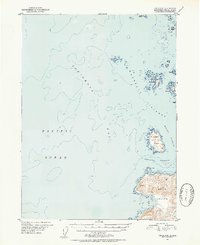
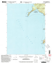
1951 Map of Craig C-6
USGS Topo · Published 1952About this map
Iphigenia Bay dominates this mid-century maritime survey, revealing the complex archipelago of the Maurelle Islands as they stood in the early 1950s. The coastline of Noyes Island is charted with precision, showing the deep inlets of Ulitka Bay and Lagoma Bay alongside the exposed southern stretch of Roller Bay. These waters, situated within the Pacific Ocean, are punctuated by isolated landmarks such as Timbered Island and St Joseph Island, which provide critical navigation points for the surrounding Sonora Passage and Arriaga Passage. The map's bathymetric data and shoreline details, compiled from aerial photographs and maritime charts, reflect the post-war efforts of the Geological Survey to document the Tongass National Forest. The distribution of smaller features like Wood Islands and Twin Islands illustrates the fragmented geography of this coastal frontier during a period of active aerial surveying.
Find a feature on this map
23 named features on this map. Tap any name to fly to it.
Don’t see what you’re looking for? This feature index may not catch every label — zoom into the map to look around manually.
Map Details
Editions of this 1951 Craig C-6 Map
4 editions found
Other maps of this area

1948 · Craig B-5
USGS Topo · 1:63,360

1948 · Craig B-6
USGS Topo · 1:63,360

1951 · Craig C-6
USGS Topo · 1:63,360

1951 · Craig D-6
USGS Topo · 1:63,360

1951 · Craig C-5
USGS Topo · 1:63,360

1951 · Craig D-5
USGS Topo · 1:63,360

1957 · Craig
USGS Topo · 1:250,000
1996 · Craig D-5
USGS Topo · 1:63,360
2000 · Craig B-6
USGS Topo · 1:63,360

2000 · Craig B-5
USGS Topo · 1:63,360