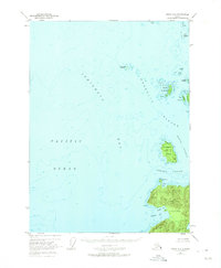
1951 Map of Craig C-6
USGS Topo · Published 1975About this map
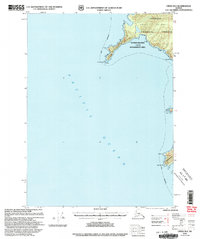
Noyes Island and its jagged northwestern coastline dominate the southeastern corner of this maritime chart, where the land meets the open waters of the Pacific Ocean. This coastal landscape, surveyed using aerial photography from 1948 and field checked in 1951, reveals an intricate network of waterways including Sonora Passage and Arriaga Passage. The archipelago character of the region is evident through the scattered Maurelle Islands and Wood Islands, which provide a complex navigational environment for the era's fishing and maritime activities. Notable shoreline features such as Cape Ulitka and the sheltered waters of Ulitka Bay and Lagoma Bay suggest the natural harbors used by mariners before modern navigational aids were standard. The entire land portion shown lies within the Tongass National Forest, emphasizing the coastal wilderness of the Prince of Wales archipelago during the mid-20th century.
Find a feature on this map
21 named features on this map. Tap any name to fly to it.
Don’t see what you’re looking for? This feature index may not catch every label — zoom into the map to look around manually.
Map Details
Editions of this 1951 Craig C-6 Map
4 editions found
Other maps of this area

1948 · Craig B-5
USGS Topo · 1:63,360

1948 · Craig B-6
USGS Topo · 1:63,360

1951 · Craig C-6
USGS Topo · 1:63,360

1951 · Craig D-6
USGS Topo · 1:63,360

1951 · Craig C-5
USGS Topo · 1:63,360

1951 · Craig D-5
USGS Topo · 1:63,360

1957 · Craig
USGS Topo · 1:250,000
1996 · Craig D-5
USGS Topo · 1:63,360
2000 · Craig B-6
USGS Topo · 1:63,360

2000 · Craig B-5
USGS Topo · 1:63,360