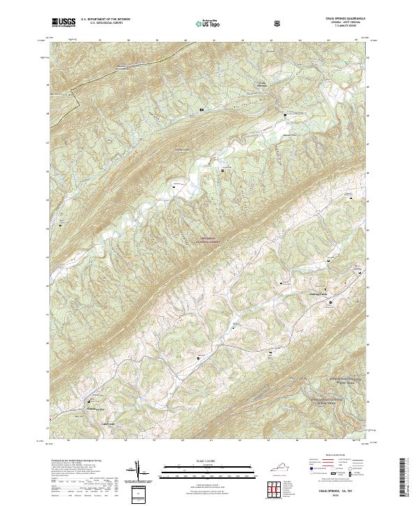
2022 Map of Craig Springs
USGS Topo · Published 2022About this map
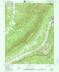
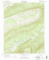
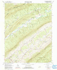
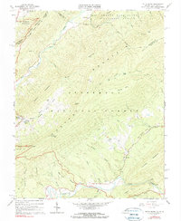
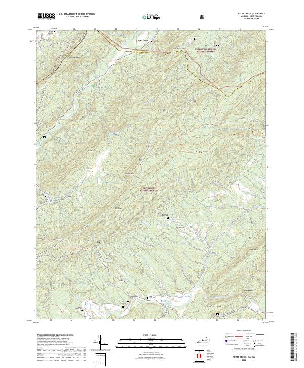
Jefferson National Forest dominates this section of the Alleghany Mountains, where the state boundary separates Monroe County and West Virginia from Virginia. The landscape is defined by long, parallel ridges like Johns Creek Mtn and Sinking Creek Mtn, which frame the agricultural valleys and small settlements of Simmonsville and Craig Springs. The area is notable for its concentration of family burial grounds, including the Huffman Cem, McGuire Cem, and Ballard Huffman Family Cem, offering significant detail for genealogical research in this rural pocket.
Find a feature on this map
76 named features on this map. Tap any name to fly to it.
Don’t see what you’re looking for? This feature index may not catch every label — zoom into the map to look around manually.
Map Details
Editions of this 2022 Craig Springs Map
This is the sole edition of this map. No revisions or reprints were ever made.
Historical Maps of Valley Mill Through Time
14 maps found
1923 Waiteville
Craig County, VA

1931 Waiteville
Craig County, VA
1944 Waiteville
Craig County, VA
1951 Waiteville
Craig County, VA
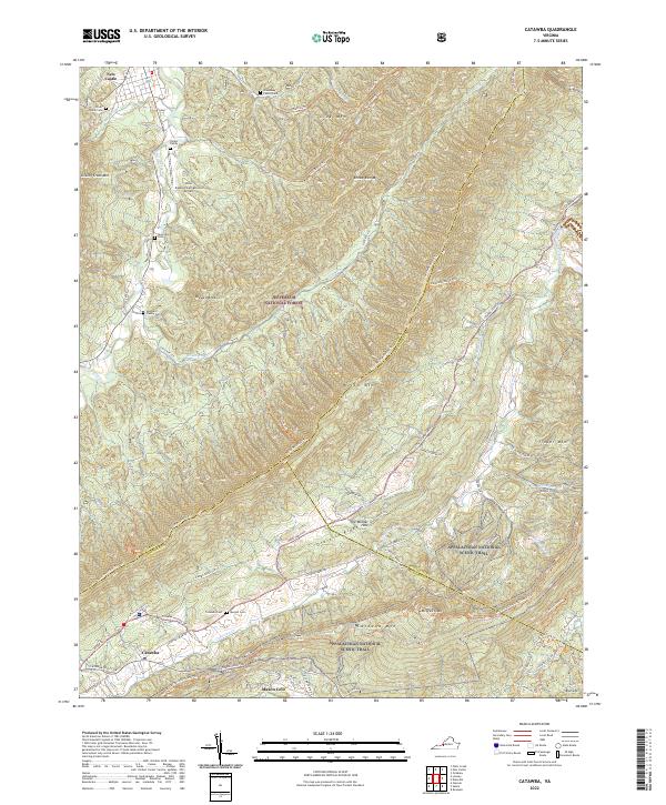
1963 Catawba
Craig County, VA
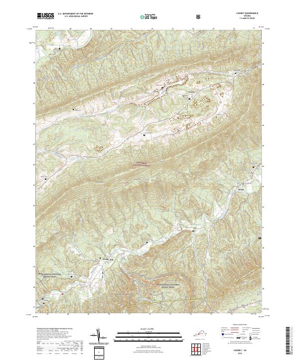
1963 Looney
Craig County, VA
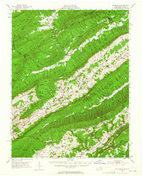
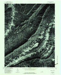
1965 Craig Springs
Craig County, VA
1966 Potts Creek
Craig County, VA
1977 Catawba
Craig County, VA
2022 Catawba
Craig County, VA
2022 Craig Springs
Craig County, VA
2022 Looney
Craig County, VA
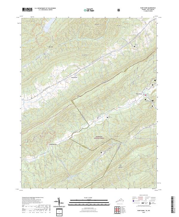
2022 Paint Bank
Craig County, VA
2022 Potts Creek
Craig County, VA