
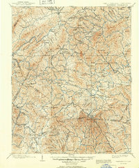
1902 Map of Cranberry
USGS Topo · Published 1902About this map
Mountain City and Boone anchor this turn-of-the-century topographic landscape along the high ridges dividing North Carolina and Tennessee. The terrain is defined by the Stone Mountains and Boe Mountain, where complex drainage patterns feed the Watauga River and the South Fork New River. This period is marked by early rail expansion through the mountains, including the Virginia and Southwestern Railway in the north and the Linville River Railway to the south. Local industry and settlement patterns are evident at sites like Rhea Forge and Shells Mill, while the historic Yonhalossee Road winds through the southern gaps. Numerous small rural communities, such as Vaughtsville, Sugar Grove, and Valle Crucis, are shown connected by primitive roads and mountain gaps like State Line Gap.
Find a feature on this map
166 named features on this map. Tap any name to fly to it.
Don’t see what you’re looking for? This feature index may not catch every label — zoom into the map to look around manually.
Map Details
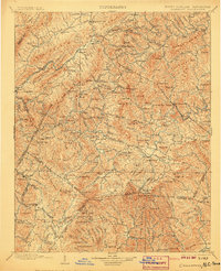
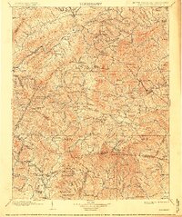
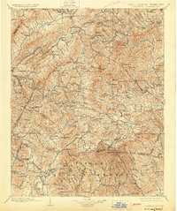
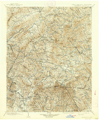
Editions of this 1902 Cranberry Map
6 editions found
Other maps of this area

1889 · Wytheville
USGS Topo · 1:125,000

1889 · Wilkesboro
USGS Topo · 1:125,000

1891 · Roan Mountain
USGS Topo · 1:125,000

1891 · Abingdon
USGS Topo · 1:125,000

1891 · Wilkesboro
USGS Topo · 1:125,000

1892 · Wytheville
USGS Topo · 1:125,000

1893 · Cranberry
USGS Topo · 1:125,000

1894 · Roan Mountain
USGS Topo · 1:125,000

1894 · Abingdon
USGS Topo · 1:125,000

1895 · Hickory
USGS Topo · 1:125,000