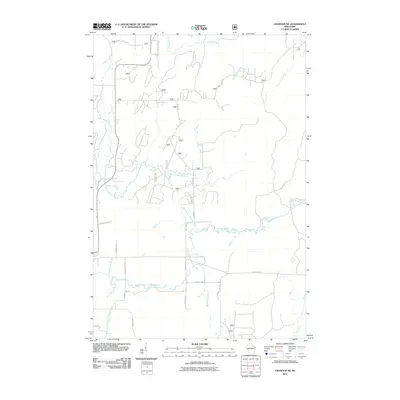
2011 Map of Crandon NE
USGS Topo · Published 2011About this map
The North Branch Peshtigo River and its various tributaries define this northern Wisconsin landscape as it appeared in the early 21st century. The map shows a complex hydrographic network where the Popple River and Little Popple River drain the northern reaches, while the Peshtigo system dominates the central and southern portions. This area, located near Laona, features a grid of forest service and county roads that reflect the region's long-standing logging and recreational heritage. Local thoroughfares like Scott Lake Rd and Dixon Rd provide access through the dense woodland, while family-named routes such as Dick Samz Rd, Thomaschefsky Ln, and Schmidt Ln suggest the deep-rooted local history of this section of Forest County. The southern portion is marked by County Hwy G and the meandering path of Raymond Creek, illustrating the transition from primary river valleys to smaller upland drainages.
Find a feature on this map
25 named features on this map. Tap any name to fly to it.
Don’t see what you’re looking for? This feature index may not catch every label — zoom into the map to look around manually.
Map Details
Editions of this 2011 Crandon NE Map
This is the sole edition of this map. No revisions or reprints were ever made.
Other maps of this area

1938 · Alvin
USGS Topo · 1:48,000

1939 · Crandon
USGS Topo · 1:48,000

1939 · Laona
USGS Topo · 1:48,000

1939 · Long Lake
USGS Topo · 1:48,000

1941 · Crandon
USGS Topo · 1:48,000

1946 · Laona
USGS Topo · 1:48,000

1946 · Alvin
USGS Topo · 1:48,000

1947 · Crandon
USGS Topo · 1:48,000

1948 · Long Lake
USGS Topo · 1:48,000

1954 · Iron Mountain
USGS Topo · 1:250,000