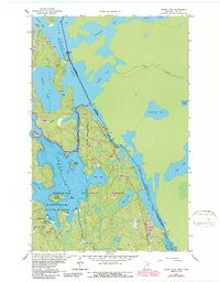
1963 Map of Crane Lake
USGS Topo · Published 1987About this map
Sand Point Lake and its intricate northern waterways form the international boundary between the United States and Canada in this detailed 1963 survey. The settlement of Crane Lake serves as a gateway to the region's vast protected lands, including Voyageurs National Park and the Boundary Waters Canoe Area Wilderness. The landscape is defined by its reliance on water-based travel and remote access, featuring prominent portages like the Dawson Portage and narrow channels such as Harrison Narrows and King Williams Narrows.
Find a feature on this map
38 named features on this map. Tap any name to fly to it.
Don’t see what you’re looking for? This feature index may not catch every label — zoom into the map to look around manually.
Map Details
Editions of this 1963 Crane Lake Map
3 editions found
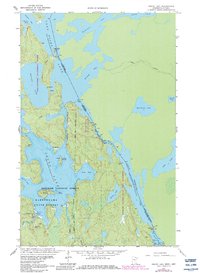
Other maps of this area

1954 · International Falls
USGS Topo · 1:250,000

1957 · International Falls
USGS Topo · 1:250,000

1958 · International Falls
USGS Topo · 1:250,000

1963 · Echo Lake
USGS Topo · 1:24,000

1963 · Snow Bay
USGS Topo · 1:24,000

1963 · Redhorse Bay
USGS Topo · 1:24,000

1963 · Lake Jeanette
USGS Topo · 1:24,000

1963 · Crane Lake
USGS Topo · 1:24,000

1967 · Kabustasa Lake
USGS Topo · 1:24,000

1967 · Hale Bay
USGS Topo · 1:24,000