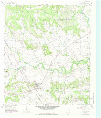
1956 Map of Cranfills Gap
USGS Topo · Published 1984About this map
Cranfills Gap serves as the focal point of this Central Texas landscape, situated at the intersection of several prominent ridges and hills. The terrain is defined by a series of named summits, many bearing local family names that suggest a deep-rooted history of settlement and land ownership, including Rogstad Mountain, Ilseng Mountain, and Jenson Mountain. To the north, the elevation rises toward the broad plateau of Spencer Mountain and the distinctive Flat Top Mountain.
Find a feature on this map
35 named features on this map. Tap any name to fly to it.
Don’t see what you’re looking for? This feature index may not catch every label — zoom into the map to look around manually.
Map Details
Editions of this 1956 Cranfills Gap Map
Other maps of this area

1888 · Meridian
USGS Topo · 1:125,000

1894 · Meridian
USGS Topo · 1:125,000

1954 · Waco
USGS Topo · 1:250,000

1955 · Waco
USGS Topo · 1:250,000

1955 · Meridian
USGS Topo · 1:24,000
1956 · Hurst Spring
USGS Topo · 1:24,000

1956 · Cranfills Gap
USGS Topo · 1:24,000
1956 · German Valley
USGS Topo · 1:24,000
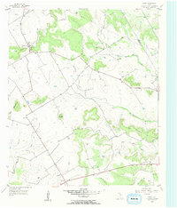
1956 · Fairy
USGS Topo · 1:24,000
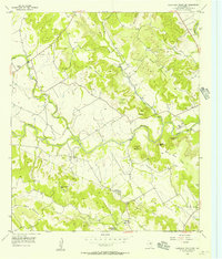
1956 · Sugarloaf Mountain
USGS Topo · 1:24,000