
1905 Map of Crapo
USGS Topo · Published 1905About this map
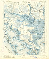
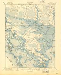
Lakesville and the surrounding marshlands of Dorchester County define this landscape at the dawn of the twentieth century. The intricate shoreline of the Chesapeake Bay and Tar Bay reveals a network of landings and small island communities, such as Hoopersville and Bishop Head, where waterman life centered on the local guts and creeks. The interior is a complex weave of freshwater and brackish features, including the Blackwater River and its numerous ponds like Barbadoes Pond and Otter Pond.
Find a feature on this map
117 named features on this map. Tap any name to fly to it.
Don’t see what you’re looking for? This feature index may not catch every label — zoom into the map to look around manually.
Map Details
Editions of this 1905 Crapo Map
3 editions found
Other maps of this area

1892 · Drum Point
USGS Topo · 1:62,500

1893 · Sharps Island
USGS Topo · 1:62,500

1894 · Point Lookout
USGS Topo · 1:62,500

1898 · Choptank
USGS Topo · 1:125,000

1898 · St. Marys
USGS Topo · 1:125,000

1901 · Drum Point
USGS Topo · 1:62,500

1903 · Nanticoke
USGS Topo · 1:62,500

1903 · Bloodsworth Island
USGS Topo · 1:62,500

1903 · Deal Island
USGS Topo · 1:62,500

1904 · Sharps Island
USGS Topo · 1:62,500