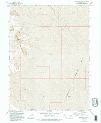
1991 Map of Crater Island East
USGS Topo · Published 1995About this map
The Silver Island Mountains dominate this western Utah landscape, providing a stark vertical contrast to the expansive Newfoundland Evaporation Basin to the east. Compiled from aerial photography and field checks in the late 1980s and early 1990s, this document captures the desolate character of the region where Crater Island rises above the surrounding Mud.
Find a feature on this map
11 named features on this map. Tap any name to fly to it.
Don’t see what you’re looking for? This feature index may not catch every label — zoom into the map to look around manually.
Map Details
Editions of this 1991 Crater Island East Map
2 editions found
Other maps of this area

1953 · Tooele
USGS Topo · 1:250,000

1954 · Brigham City
USGS Topo · 1:250,000

1955 · Tooele
USGS Topo · 1:250,000

1958 · Brigham City
USGS Topo · 1:250,000

1962 · Brigham City
USGS Topo · 1:250,000

1967 · Lemay Island
USGS Topo · 1:24,000

1970 · Crater Island
USGS Topo · 1:24,000

1971 · Graham Peak
USGS Topo · 1:24,000

1973 · Floating Island NE
USGS Topo · 1:24,000
1973 · Floating Island
USGS Topo · 1:24,000