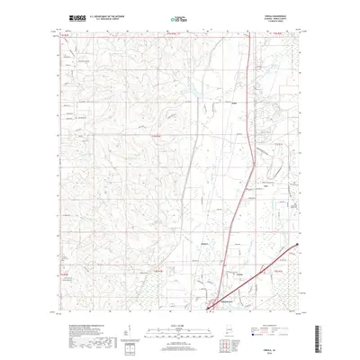
2018 Map of Creola
USGS Topo · Published 2018About this map
Gunnison Creek and the low-lying wetlands of Cold Creek Swamp define the eastern edge of this Mobile County landscape. The communities of Creola, Axis, and Salco line the corridor between the western hills and the river system, connected by a network of local routes like Celeste RD and Salco RD W. The area is notably dense with localized burial grounds and historical community markers, including Creola Cem, Baldwin Cem, and the Little Saint Louis Church Cem.
Find a feature on this map
95 named features on this map. Tap any name to fly to it.
Don’t see what you’re looking for? This feature index may not catch every label — zoom into the map to look around manually.
Map Details
Editions of this 2018 Creola Map
This is the sole edition of this map. No revisions or reprints were ever made.
Other maps of this area

1941 · Chickasaw
USGS Topo · 1:31,680

1941 · Bay Minette
USGS Topo · 1:62,500

1941 · Creola
USGS Topo · 1:62,500

1942 · Hurricane
USGS Topo · 1:31,680

1942 · Kushla
USGS Topo · 1:31,680
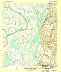
1943 · Hurricane
USGS Topo · 1:31,680

1943 · Creola
USGS Topo · 1:62,500

1943 · Chickasaw
USGS Topo · 1:31,680

1943 · Bay Minette
USGS Topo · 1:62,500

1943 · Tensaw
USGS Topo · 1:62,500