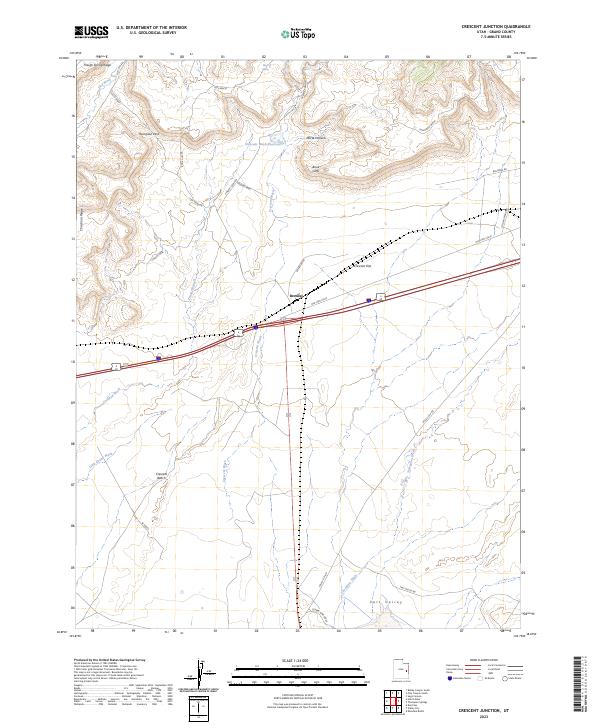
2023 Map of Crescent Junction
USGS Topo · Published 2023About this map
Brendel stands as a focal point at the junction of modern transportation routes and historical corridors in this high-desert landscape of Grand County. The terrain is defined by the dramatic escarpment of the Book Cliffs, which divide the northern Horse Heaven and Floy Bench from the broad expansive basins to the south. This area is a network of arid drainage systems, including Crescent Wash and Crooked Wash, which have historically dictated the placement of roads and early rail lines.
Find a feature on this map
31 named features on this map. Tap any name to fly to it.
Don’t see what you’re looking for? This feature index may not catch every label — zoom into the map to look around manually.
Map Details
Editions of this 2023 Crescent Junction Map
This is the sole edition of this map. No revisions or reprints were ever made.
Other maps of this area

1885 · East Tavaputs
USGS Topo · 1:250,000

1885 · La Sal
USGS Topo · 1:250,000

1956 · Moab
USGS Topo · 1:250,000

1956 · Grand Junction
USGS Topo · 1:250,000

1958 · Crescent Junction
USGS Topo · 1:62,500

1958 · Thompson
USGS Topo · 1:62,500

1959 · Grand Junction
USGS Topo · 1:250,000

1959 · Moab
USGS Topo · 1:250,000

1960 · Moab
USGS Topo · 1:250,000

1960 · Grand Junction
USGS Topo · 1:250,000