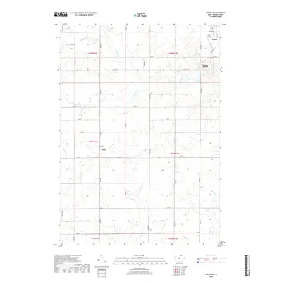
2018 Map of Cresco SW
USGS Topo · Published 2018About this map
The Turkey River and its numerous tributaries, including the W Br Turkey River and N Br Turkey River, carve through this Howard County landscape, defining the local topography and settlement patterns. The community of Vernon Springs sits along the main river channel, while the settlement of Schley is situated further south, marked by the Holy Cross Cem. This 2018 survey reveals a classic Midwestern grid of section roads like Saint Ave and 150th ST that overlay the winding paths of the Little Turkey River and Bohemian Cr. On the northern edge of the map, the outskirts of Cresco are visible, including the Ellen Church Field. The density of named water branches indicates a well-watered agricultural region where the natural drainage of the Turkey River system has historically dictated the placement of homesteads and early village sites.
Find a feature on this map
41 named features on this map. Tap any name to fly to it.
Don’t see what you’re looking for? This feature index may not catch every label — zoom into the map to look around manually.
Map Details
Editions of this 2018 Cresco SW Map
This is the sole edition of this map. No revisions or reprints were ever made.
Other maps of this area

1954 · Mason City
USGS Topo · 1:250,000

1957 · Mason City
USGS Topo · 1:250,000

1958 · Mason City
USGS Topo · 1:250,000

1972 · Jerico
USGS Topo · 1:24,000

1981 · Lourdes
USGS Topo · 1:24,000

1981 · Cresco NW
USGS Topo · 1:24,000
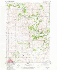
1981 · Cresco NE
USGS Topo · 1:24,000

1981 · Lime Springs
USGS Topo · 1:24,000
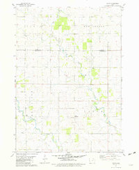
1981 · Saude
USGS Topo · 1:24,000
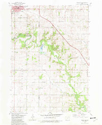
1981 · Cresco SE
USGS Topo · 1:24,000