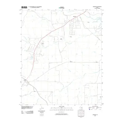
2010 Map of Cresson
USGS Topo · Published 2010About this map
Cresson anchor the southwestern corner of this survey, where a small grid of streets meets the Cresson Cemetery. The surrounding landscape is defined by the headwaters of the Trinity River system, specifically the Clear Fork Trinity River and its numerous tributaries like South Bear Creek and Mustang Creek. This terrain reflects a transition from rural ranching or farming lands into the expanding residential and recreational fringes of Tarrant County.
Find a feature on this map
39 named features on this map. Tap any name to fly to it.
Don’t see what you’re looking for? This feature index may not catch every label — zoom into the map to look around manually.
Map Details
Editions of this 2010 Cresson Map
This is the sole edition of this map. No revisions or reprints were ever made.
Other maps of this area

1889 · Granbury
USGS Topo · 1:125,000

1891 · Weatherford
USGS Topo · 1:125,000

1891 · Cleburne
USGS Topo · 1:125,000

1893 · Weatherford
USGS Topo · 1:125,000

1894 · Cleburne
USGS Topo · 1:125,000

1894 · Fort Worth
USGS Topo · 1:125,000

1923 · Granbury 1-b
USGS Topo · 1:48,000

1928 · Godley
USGS Topo · 1:62,500

1954 · Dallas
USGS Topo · 1:250,000

1955 · Aledo
USGS Topo · 1:24,000