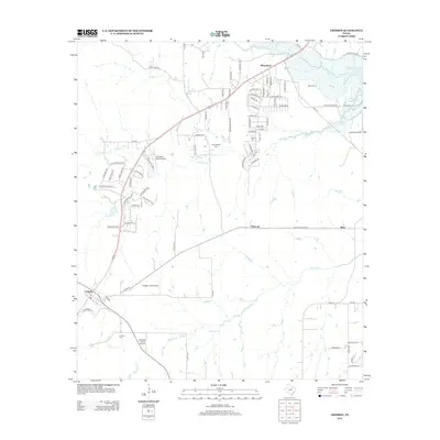
2013 Map of Cresson
USGS Topo · Published 2013About this map
Cresson and its surrounding prairie landscape in North Texas appear here as a patchwork of expanding residential developments and established rural aviation fields. The town's historical foundations are evidenced by the Cresson Cem, while several other small burial grounds like Keyes Cem, Goforth Cem, and Day-Radcliff Cem dot the countryside, offering valuable markers for local family historians. This area southwest of Fort Worth is defined by its numerous private and community airfields, including Bourland Field Airport, Chigger Field Airport, and the uniquely named Chicken Strip Airport.
Find a feature on this map
84 named features on this map. Tap any name to fly to it.
Don’t see what you’re looking for? This feature index may not catch every label — zoom into the map to look around manually.
Map Details
Editions of this 2013 Cresson Map
This is the sole edition of this map. No revisions or reprints were ever made.
Other maps of this area

1889 · Granbury
USGS Topo · 1:125,000

1891 · Weatherford
USGS Topo · 1:125,000

1891 · Cleburne
USGS Topo · 1:125,000

1893 · Weatherford
USGS Topo · 1:125,000

1894 · Cleburne
USGS Topo · 1:125,000

1894 · Fort Worth
USGS Topo · 1:125,000

1923 · Granbury 1-b
USGS Topo · 1:48,000

1928 · Godley
USGS Topo · 1:62,500

1954 · Dallas
USGS Topo · 1:250,000

1955 · Aledo
USGS Topo · 1:24,000