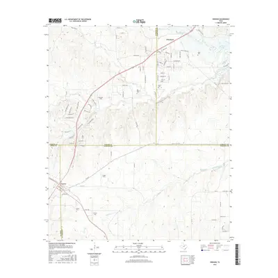
2016 Map of Cresson
USGS Topo · Published 2016About this map
Cresson sits at the convergence of several county lines in North Texas, serving as a hub where Hood, Johnson, and Parker counties meet. This 2016 survey illustrates a landscape of established ranching and rural aviation, featuring small landing strips like Bourland Field, Chigger Field, and the uniquely named Chicken Strip. The terrain is defined by the drainage of Mustang Creek and Bear Cr, with the latter flowing toward the upper reaches of Benbrook Lake in the northeast. Family history is well-preserved across this quadrangle through several burial grounds, including the Keyes Cem, Goforth Cem, and Day-Radcliff Cem, which anchor the rural properties. The settlement of Wheatland appears in the northern section, while the road network, including FM 1187 and Pork Chop Hill, reflects the gradual modernization of this crossroads region south of the Dallas-Fort Worth metroplex.
Find a feature on this map
87 named features on this map. Tap any name to fly to it.
Don’t see what you’re looking for? This feature index may not catch every label — zoom into the map to look around manually.
Map Details
Editions of this 2016 Cresson Map
This is the sole edition of this map. No revisions or reprints were ever made.
Other maps of this area

1889 · Granbury
USGS Topo · 1:125,000

1891 · Weatherford
USGS Topo · 1:125,000

1891 · Cleburne
USGS Topo · 1:125,000

1893 · Weatherford
USGS Topo · 1:125,000

1894 · Cleburne
USGS Topo · 1:125,000

1894 · Fort Worth
USGS Topo · 1:125,000

1923 · Granbury 1-b
USGS Topo · 1:48,000

1928 · Godley
USGS Topo · 1:62,500

1954 · Dallas
USGS Topo · 1:250,000

1955 · Aledo
USGS Topo · 1:24,000