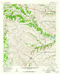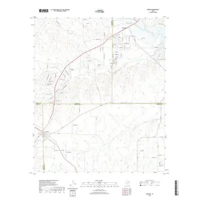
1955 Map of Cresson
USGS Topo · Published 1969About this map
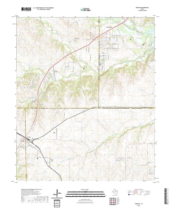
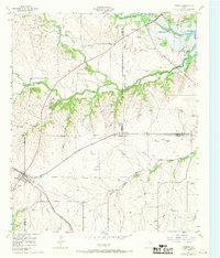
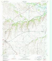
The Atchison Topeka And Santa Fe railroad cuts a diagonal path through this North Texas landscape, connecting the rural communities of Cresson and Wheatland during the mid-20th century. The terrain is defined by the winding course of the Clear Fork Trinity River and its many tributaries, including Bear Creek and Mustang Creek, leading toward the developing shoreline of Benbrook Lake. This 1955 survey, which includes 1968 photorevisions, captures a complex intersection of four counties — Tarrant, Johnson, Parker, and Hood — where agricultural life is marked by numerous family and community landmarks.
Find a feature on this map
23 named features on this map. Tap any name to fly to it.
Don’t see what you’re looking for? This feature index may not catch every label — zoom into the map to look around manually.
Map Details
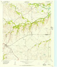
Editions of this 1955 Cresson Map
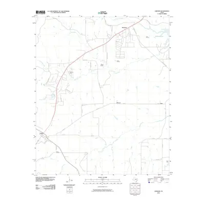
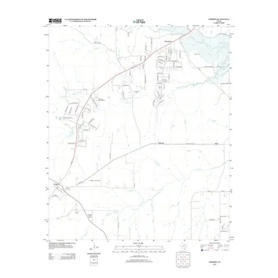
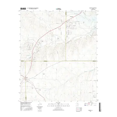
Historical Maps of Wheatland Through Time
7 maps found