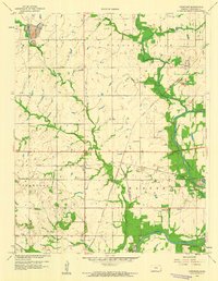
1959 Map of Crestline
USGS Topo · Published 1960About this map
Crestline sits at a crossroads of mid-century industrial activity and rural Kansas life, defined by the extensive strip mining operations that shaped the local landscape. The presence of a prominent Strip Mine and scattered Tailings piles indicates a region heavily tied to mineral extraction, particularly north of Lawton. This economic base is balanced by a dense network of country education and memorial sites, including Wirtonia Sch, Stone Sch, and Messer Cem, reflecting the deep-rooted family history of the Shawnee and Pleasant View townships.
Find a feature on this map
27 named features on this map. Tap any name to fly to it.
Don’t see what you’re looking for? This feature index may not catch every label — zoom into the map to look around manually.
Map Details
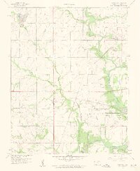
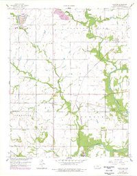
Editions of this 1959 Crestline Map
3 editions found
Other maps of this area

1886 · Joplin
USGS Topo · 1:125,000

1894 · Joplin
USGS Topo · 1:125,000

1918 · Columbus
USGS Topo · 1:62,500

1943 · Cherokee
USGS Topo · 1:62,500

1945 · Pittsburg
USGS Topo · 1:62,500

1945 · Cherokee
USGS Topo · 1:62,500

1947 · Joplin
USGS Topo · 1:250,000

1947 · Pittsburg
USGS Topo · 1:62,500

1949 · Joplin
USGS Topo · 1:250,000

1950 · Pittsburg
USGS Topo · 1:62,500