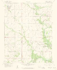
1959 Map of Crestline
USGS Topo · Published 1960About this map
The Spring River and its tributaries carve through the southeastern Kansas landscape, defining a region where rural life met industrial utility in the late 1950s. The settlement of Crestline serves as a central hub, flanked by agricultural townships like Pleasant View and Mineral. This period reveals an active industrial footprint, most notably through the presence of a Strip Mine in the north and several areas marked by Tailings, which signal the legacy of lead and zinc mining in Cherokee County.
Find a feature on this map
26 named features on this map. Tap any name to fly to it.
Don’t see what you’re looking for? This feature index may not catch every label — zoom into the map to look around manually.
Map Details
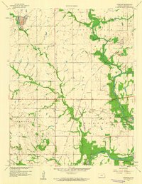
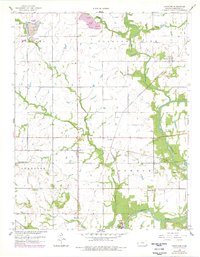
Editions of this 1959 Crestline Map
3 editions found
Other maps of this area

1886 · Joplin
USGS Topo · 1:125,000

1894 · Joplin
USGS Topo · 1:125,000

1918 · Columbus
USGS Topo · 1:62,500

1943 · Cherokee
USGS Topo · 1:62,500

1945 · Pittsburg
USGS Topo · 1:62,500

1945 · Cherokee
USGS Topo · 1:62,500

1947 · Joplin
USGS Topo · 1:250,000

1947 · Pittsburg
USGS Topo · 1:62,500

1949 · Joplin
USGS Topo · 1:250,000

1950 · Pittsburg
USGS Topo · 1:62,500