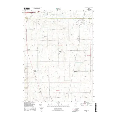
2016 Map of Creston
USGS Topo · Published 2016About this map
Creston and Burbank anchor the northern edge of this Wayne County landscape, where the agricultural traditions of north-central Ohio are written in the density of its family and community burial grounds. The terrain is defined by the slow drainage of Killbuck Creek and Killbuck Ditch, a system that includes the Chippewa Watershed Conservation District Structure Reservoir. This modern survey illustrates a network of rural hamlets including Canaan, Golden Corners, and Hermanville connected by historical routes like the Wooster Pike. Genealogists will find significant value in the documentation of numerous cemeteries, such as Maple Mound Cem, Wayne Presbyterian Cem, and the Beech Grove Cem near the eastern boundary. The map reflects a landscape where small-scale settlement patterns have persisted alongside significant water management efforts, maintaining a clear record of local land use and community lineage through the early 21st century.
Find a feature on this map
80 named features on this map. Tap any name to fly to it.
Don’t see what you’re looking for? This feature index may not catch every label — zoom into the map to look around manually.
Map Details
Editions of this 2016 Creston Map
This is the sole edition of this map. No revisions or reprints were ever made.
Other maps of this area

1901 · Wooster
USGS Topo · 1:62,500

1903 · Wooster
USGS Topo · 1:62,500

1904 · Medina
USGS Topo · 1:62,500

1904 · Wellington
USGS Topo · 1:62,500

1906 · Medina
USGS Topo · 1:62,500

1906 · Wellington
USGS Topo · 1:62,500

1906 · West Salem
USGS Topo · 1:62,500

1908 · West Salem
USGS Topo · 1:62,500

1950 · Cleveland
USGS Topo · 1:250,000

1950 · Marion
USGS Topo · 1:250,000