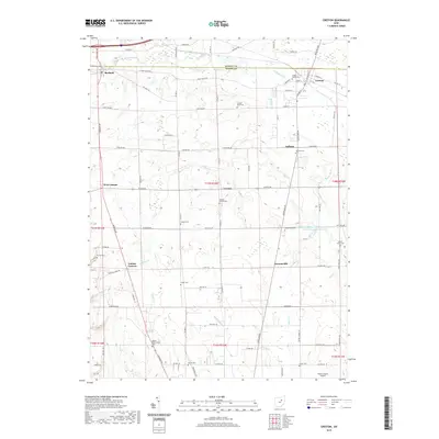
2019 Map of Creston
USGS Topo · Published 2019About this map
Creston and Burbank anchor this agricultural and transit landscape along the border of Medina and Wayne counties in the late 2010s. The region is defined by a dense network of family and community cemeteries, including Maple Mound Cem, Canaan Center Cem, and Wayne Presbyterian Cem, offering significant value for genealogical research. The Killbuck Creek valley and its managed tributaries like Killbuck Ditch illustrate the complex drainage and water management of this part of Ohio, further evidenced by the Chippewa Watershed Conservation District Structure Reservoir. Small crossroads settlements such as West Canaan, Golden Corners, and Hermanville remain as historical markers of the area's rural development. In the southern portion of the map, the Wayne County Airport provides a modern contrast to the surrounding farm tracts and quiet burial grounds like Cupps Cem and Barton Cem.
Find a feature on this map
88 named features on this map. Tap any name to fly to it.
Don’t see what you’re looking for? This feature index may not catch every label — zoom into the map to look around manually.
Map Details
Editions of this 2019 Creston Map
This is the sole edition of this map. No revisions or reprints were ever made.
Other maps of this area

1901 · Wooster
USGS Topo · 1:62,500

1903 · Wooster
USGS Topo · 1:62,500

1904 · Medina
USGS Topo · 1:62,500

1904 · Wellington
USGS Topo · 1:62,500

1906 · Medina
USGS Topo · 1:62,500

1906 · Wellington
USGS Topo · 1:62,500

1906 · West Salem
USGS Topo · 1:62,500

1908 · West Salem
USGS Topo · 1:62,500

1950 · Cleveland
USGS Topo · 1:250,000

1950 · Marion
USGS Topo · 1:250,000