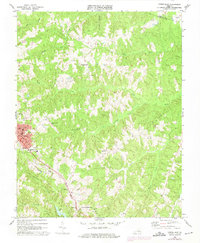
1968 Map of Crewe East
USGS Topo · Published 1975About this map
The town of Crewe and the county seat at Nottoway Court House anchor this Southside Virginia landscape in the late 1960s. The region is defined by the heavy infrastructure of the Norfolk and Western railway, which bisects the territory from the northwest to the southeast, supporting local industry and the commercial centers of the day. A network of rural churches and cemeteries, such as Mt Calvary Ch, Fourth Mt Zion Ch, and the Old Poplar Mtn Cem, provides a detailed record for family historians and genealogists tracking the small communities around Fergasonville.
Find a feature on this map
40 named features on this map. Tap any name to fly to it.
Don’t see what you’re looking for? This feature index may not catch every label — zoom into the map to look around manually.
Map Details
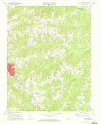
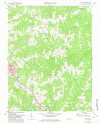
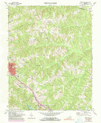
Editions of this 1968 Crewe East Map
4 editions found
Other maps of this area

1891 · Farmville
USGS Topo · 1:125,000

1893 · Farmville
USGS Topo · 1:125,000

1897 · Amelia
USGS Topo · 1:125,000

1943 · Amelia
USGS Topo · 1:31,680

1943 · Richmond
USGS Topo · 1:250,000

1947 · Roanoke
USGS Topo · 1:250,000

1949 · Richmond
USGS Topo · 1:250,000
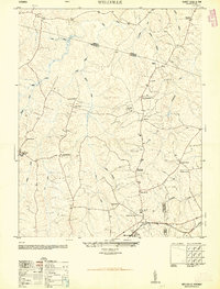
1950 · Wellville
USGS Topo · 1:24,000

1958 · Jetersville
USGS Topo · 1:62,500

1958 · Crewe
USGS Topo · 1:62,500