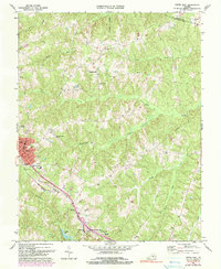
1968 Map of Crewe East
USGS Topo · Published 1990About this map
Nottoway Court House serves as a historic focal point in this south-central Virginia landscape, where small rural communities like Winningham and Fergusonville are linked by a network of winding creeks and country roads. The town of Crewe stands out as a developed hub, characterized by its grid of streets, Crewe Municipal Airport, and the presence of the Norfolk and Western railroad corridor. This rail line significantly influenced the area's development, running parallel to Lazaretto Creek and connecting local commerce to larger regional markets.
Find a feature on this map
38 named features on this map. Tap any name to fly to it.
Don’t see what you’re looking for? This feature index may not catch every label — zoom into the map to look around manually.
Map Details
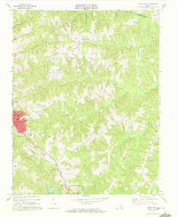
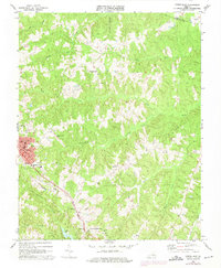
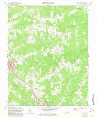
Editions of this 1968 Crewe East Map
4 editions found
Other maps of this area

1891 · Farmville
USGS Topo · 1:125,000

1893 · Farmville
USGS Topo · 1:125,000

1897 · Amelia
USGS Topo · 1:125,000

1943 · Amelia
USGS Topo · 1:31,680

1943 · Richmond
USGS Topo · 1:250,000

1947 · Roanoke
USGS Topo · 1:250,000

1949 · Richmond
USGS Topo · 1:250,000
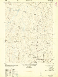
1950 · Wellville
USGS Topo · 1:24,000

1958 · Jetersville
USGS Topo · 1:62,500

1958 · Crewe
USGS Topo · 1:62,500