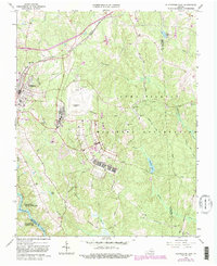
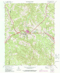
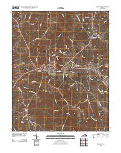
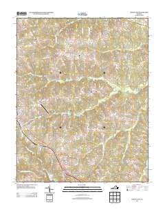
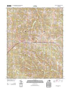
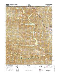
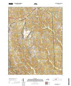
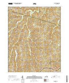
1968 Map of Crewe East
USGS Topo · Published 1982About this map
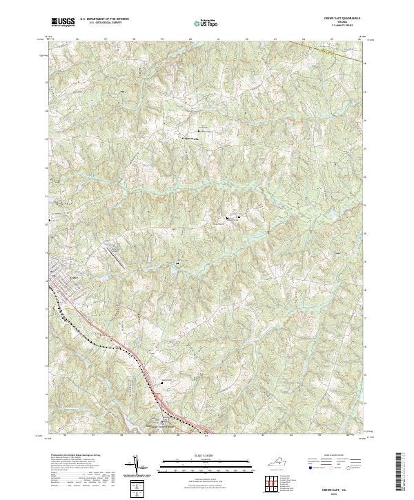
The Norfolk and Western railroad corridor anchors the cultural landscape of Nottoway County, passing through the historic rail town of Crewe. By the late 1960s, this area reflects a transition from purely agrarian roots to modern industrial and educational hubs, evidenced by the Southside Vocational Sch and the Crewe Municipal Airport. Small rural communities like Fergusonville and Nottoway Court House remain centered around institutional landmarks such as St Johns Ch and New Poplar Mtn Ch. The topography is defined by the branching tributaries of the Little Nottoway River, including Winningham Creek and Lazaretto Creek, which historically dictated the placement of homesteads and cemeteries. Genealogists can trace family lines through several remote burial sites, including the Blendon Cem and the Belfast Ch Cem near the fork of Woody Creek.
Find a feature on this map
42 named features on this map. Tap any name to fly to it.
Don’t see what you’re looking for? This feature index may not catch every label — zoom into the map to look around manually.
Map Details
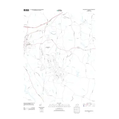
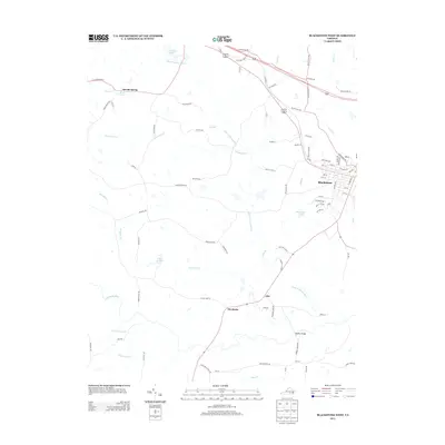
Editions of this 1968 Crewe East Map
4 editions found
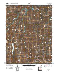
Historical Maps of Crewe Through Time
31 maps found
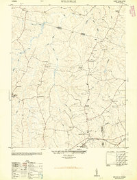
1950 Wellville
Nottoway County, VA
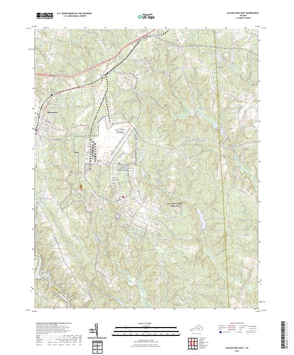
1966 Blackstone East
Nottoway County, VA
1966 Wellville
Nottoway County, VA
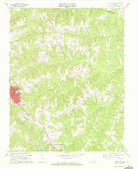
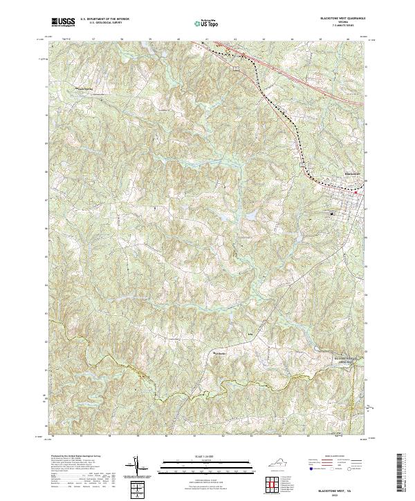
1968 Blackstone West
Nottoway County, VA
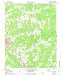
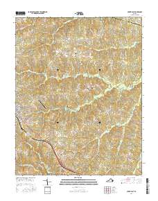
1968 Crewe East
Nottoway County, VA
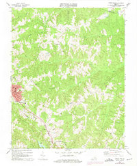
1968 Crewe West
Nottoway County, VA
2010 Blackstone East
Nottoway County, VA
2010 Blackstone West
Nottoway County, VA
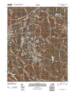
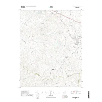
2010 Crewe East
Nottoway County, VA
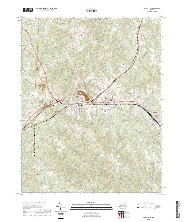
2010 Crewe West
Nottoway County, VA
2010 Wellville
Nottoway County, VA
2013 Blackstone East
Nottoway County, VA
2013 Blackstone West
Nottoway County, VA
2013 Crewe East
Nottoway County, VA
2013 Crewe West
Nottoway County, VA
2013 Wellville
Nottoway County, VA
2016 Blackstone East
Nottoway County, VA
2016 Blackstone West
Nottoway County, VA
2016 Crewe East
Nottoway County, VA
2016 Crewe West
Nottoway County, VA
2016 Wellville
Nottoway County, VA
2019 Blackstone East
Nottoway County, VA
2019 Blackstone West
Nottoway County, VA
2019 Crewe East
Nottoway County, VA
2019 Crewe West
Nottoway County, VA
2019 Wellville
Nottoway County, VA
2022 Blackstone East
Nottoway County, VA
2022 Blackstone West
Nottoway County, VA
2022 Crewe East
Nottoway County, VA
2022 Crewe West
Nottoway County, VA
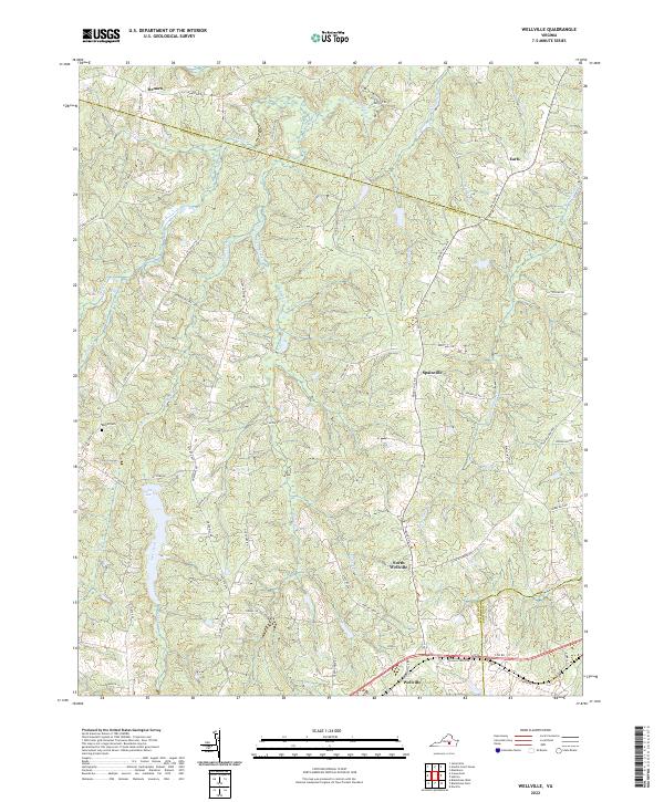
2022 Wellville
Nottoway County, VA