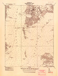
1920 Map of Crisfield
USGS Topo · Published 1920About this map
Crisfield serves as the focal point for this 1920 tactical survey, showing a maritime landscape defined by tidal marshes and intricate waterways. This era reflects the peak of the Chesapeake Bay's seafood economy, where the N.Y.P. & N. R.R. (New York, Philadelphia and Norfolk Railroad) connected the coastal landings to northern markets. The map reveals clustered waterman communities such as Sackertown, Jersey, and Lawsonia on the mainland, while isolated settlements like Tangier and Ewell are reachable only by water across Tangier Sound.
Find a feature on this map
71 named features on this map. Tap any name to fly to it.
Don’t see what you’re looking for? This feature index may not catch every label — zoom into the map to look around manually.
Map Details
Editions of this 1920 Crisfield Map
This is the sole edition of this map. No revisions or reprints were ever made.
Other maps of this area

1898 · St. Marys
USGS Topo · 1:125,000
1903 · Crisfield
USGS Topo · 1:62,500
1903 · Bloodsworth Island
USGS Topo · 1:62,500
1903 · Deal Island
USGS Topo · 1:62,500
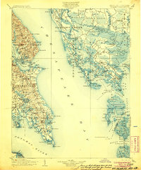
1906 · St. Marys
USGS Topo · 1:125,000
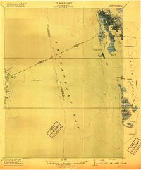
1917 · Ewell
USGS Topo · 1:62,500
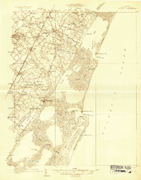
1931 · Accomac
USGS Topo · 1:48,000
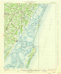
1935 · Accomac
USGS Topo · 1:62,500
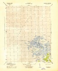
1942 · Chesconessex
USGS Topo · 1:31,680
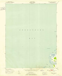
1942 · Nandua Creek
USGS Topo · 1:24,000