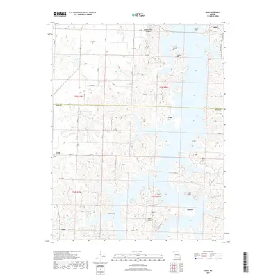
2017 Map of Crisp
USGS Topo · Published 2017About this map
Stockton Lake dominates this portion of the Missouri landscape, its complex shoreline creating numerous bluffs and inlets across the border of Cedar and Dade counties. The area is defined by small, dispersed rural settlements such as Crisp, Arcola, and Seybert, many of which are connected by historic secondary routes like State Rd Y and E Hwy H. The geography reflects a high concentration of generational markers, with family and community burial grounds including Acord Cem, Liberty Cem, and Bald Mound Cem situated on higher ground overlooking the lake's tributaries. Numerous named bluffs and hills, such as Ruark Bluff and Sorters Bluff, emphasize the transition from agricultural fields to the intricate waterways of the lake, where streams like Conner Br and Googer Cr feed into the larger reservoir system.
Find a feature on this map
46 named features on this map. Tap any name to fly to it.
Don’t see what you’re looking for? This feature index may not catch every label — zoom into the map to look around manually.
Map Details
Editions of this 2017 Crisp Map
This is the sole edition of this map. No revisions or reprints were ever made.
Other maps of this area
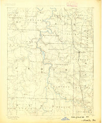
1886 · Stockton
USGS Topo · 1:125,000
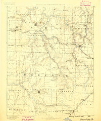
1886 · Greenfield
USGS Topo · 1:125,000
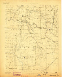
1888 · Greenfield
USGS Topo · 1:125,000
1954 · Springfield
USGS Topo · 1:250,000
1955 · Dadeville
USGS Topo · 1:24,000
1956 · Stockton
USGS Topo · 1:24,000
1956 · Bearcreek
USGS Topo · 1:24,000
1956 · Greenfield
USGS Topo · 1:24,000
1956 · Lockwood
USGS Topo · 1:24,000
1956 · Bona
USGS Topo · 1:24,000