
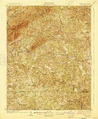
1928 Map of Critz
USGS Topo · Published 1928About this map
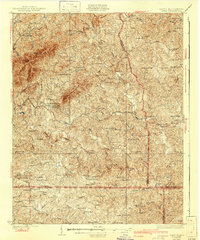
Patrick Springs and the surrounding piedmont of Patrick and Henry Counties define this 1926 survey, showing a landscape defined by small-scale milling and a dense network of rural institutions. The Danville and Western railroad serves as the primary corridor for commerce, connecting mountain-fringe settlements like Critz and Stella to the broader regional economy. This era reveals a high density of neighborhood schools and churches, such as the Blue Ridge Mission Sch and Smyrna Sch, which were often the focal points for family life in these hollows.
Find a feature on this map
126 named features on this map. Tap any name to fly to it.
Don’t see what you’re looking for? This feature index may not catch every label — zoom into the map to look around manually.
Map Details
Editions of this 1928 Critz Map
3 editions found
Other maps of this area

1924 · Martinsville
USGS Topo · 1:48,000

1925 · Rocky Mount
USGS Topo · 1:48,000

1926 · Martinsville
USGS Topo · 1:62,500

1926 · Critz
USGS Topo · 1:48,000

1927 · Rocky Mount
USGS Topo · 1:62,500

1927 · Martinsville
USGS Topo · 1:62,500

1928 · Stuart
USGS Topo · 1:48,000

1931 · Stuart
USGS Topo · 1:62,500

1944 · Martinsville
USGS Topo · 1:62,500

1944 · Rocky Mount
USGS Topo · 1:62,500