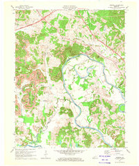
1971 Map of Cromwell
USGS Topo · Published 1973About this map
The Green River meanders across this West Kentucky landscape, defining the winding boundary between Ohio and Butler counties. At the heart of the region, Cromwell sits near the river's edge, supported by landmarks like the Water Tank Filtration Plant. The landscape is a mix of agricultural bottoms and industrial activity, with several Strip Mine operations scattered across the western hills near Highview. Transportation infrastructure is undergoing a shift here, as the Western Kentucky Parkway cuts across the northern terrain, contrasting with older landmarks like Reeds Ferry and Seminary Road. Genealogists will find a wealth of burial sites, including Shultztown Cem, Shields Cem, and New Harmony Cem, reflecting the deep-rooted family settlements of the area. Small communities such as Shultztown and Logansport anchor the rural landscape alongside country congregations like Slaty Creek Ch.
Find a feature on this map
46 named features on this map. Tap any name to fly to it.
Don’t see what you’re looking for? This feature index may not catch every label — zoom into the map to look around manually.
Map Details
Editions of this 1971 Cromwell Map
This is the sole edition of this map. No revisions or reprints were ever made.
Historical Maps of Shultztown Through Time
15 maps found
1952 Equality
Ohio County, KY
1953 Dundee
Ohio County, KY
1954 Cromwell
Ohio County, KY

1954 Horton
Ohio County, KY
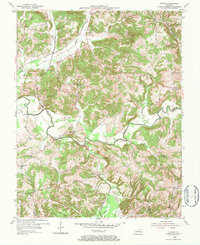
1954 Olaton
Ohio County, KY
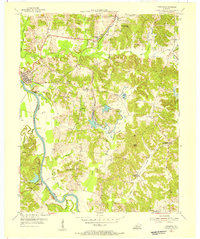
1954 Paradise
Ohio County, KY
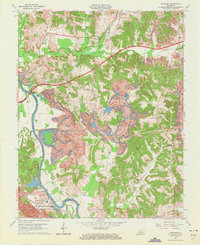
1963 Paradise
Ohio County, KY
1971 Cromwell
Ohio County, KY
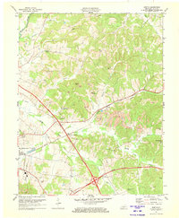
1971 Horton
Ohio County, KY
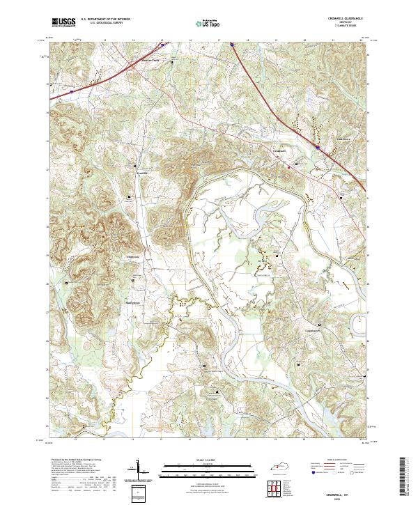
2022 Cromwell
Ohio County, KY
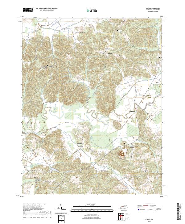
2022 Dundee
Ohio County, KY
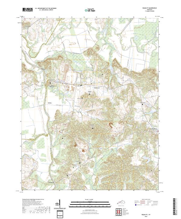
2022 Equality
Ohio County, KY
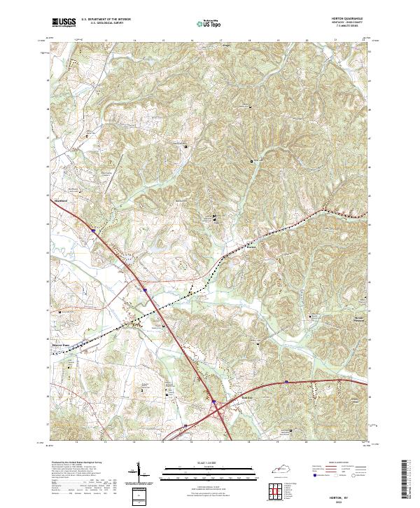
2022 Horton
Ohio County, KY
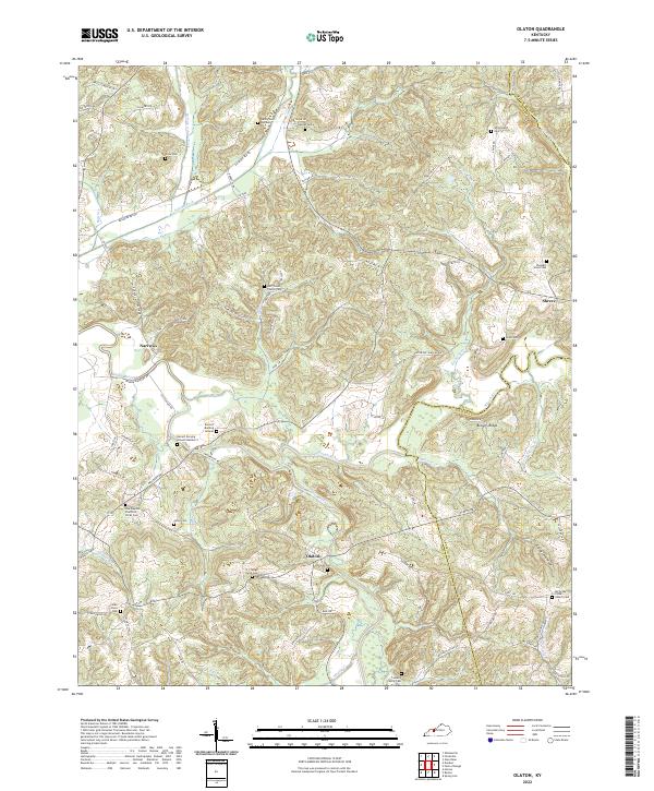
2022 Olaton
Ohio County, KY
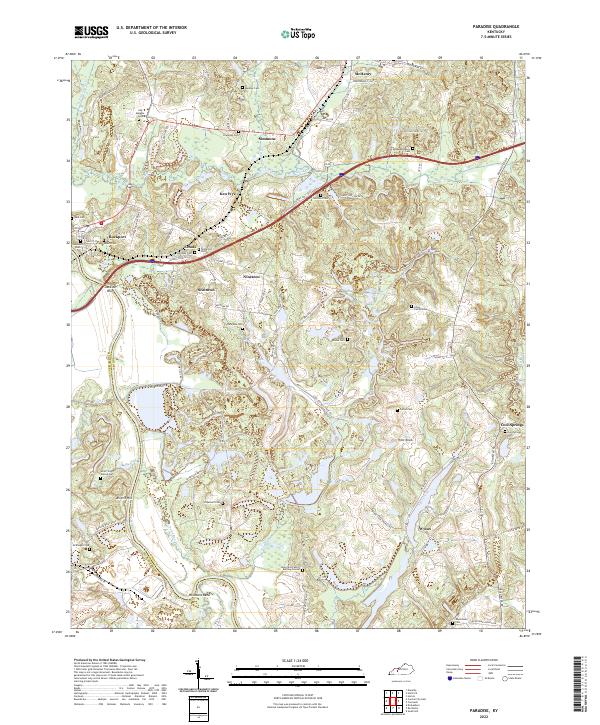
2022 Paradise
Ohio County, KY