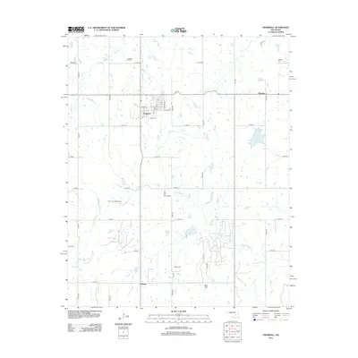
2012 Map of Cromwell
USGS Topo · Published 2012About this map
The Cromwell Oil Field and South Cromwell Oil Field define the industrial footprint of this section of Seminole County, reflecting the region's enduring connection to the energy sector. Centered around the settlement of Cromwell, the landscape is organized by a rigid grid of county roads such as EW1140 Rd and N3660 Rd, which cut across the natural drainage of Little Wewoka Cr and Sand Cr.
Find a feature on this map
36 named features on this map. Tap any name to fly to it.
Don’t see what you’re looking for? This feature index may not catch every label — zoom into the map to look around manually.
Map Details
Editions of this 2012 Cromwell Map
This is the sole edition of this map. No revisions or reprints were ever made.
Other maps of this area

1896 · Seminole and Prague
USGS Topo · 1:125,000

1900 · Wewoka
USGS Topo · 1:125,000

1954 · Oklahoma City
USGS Topo · 1:250,000

1957 · Oklahoma City
USGS Topo · 1:250,000

1963 · Oklahoma City
USGS Topo · 1:250,000

1967 · Cromwell
USGS Topo · 1:24,000

1967 · Prague NE
USGS Topo · 1:24,000

1967 · Okemah SE
USGS Topo · 1:24,000

1967 · Okemah
USGS Topo · 1:24,000

1967 · Prague SE
USGS Topo · 1:24,000