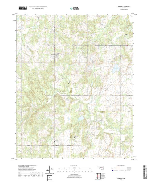
2022 Map of Cromwell
USGS Topo · Published 2022About this map
Cromwell anchors this region at the intersection of Shawnee Ave and Jenkins St, where the grid of Seminole County meets the rolling terrain of the central Oklahoma landscape. To the east, the settlement of Bearden sits near the county line, while the southern reaches of the map are defined by the community of Butner. This modern survey reveals a landscape deeply connected to its local heritage, evidenced by the scattered burial grounds of Bearden Cem, Little Quarsarty Cem, and Butner Cem.
Find a feature on this map
57 named features on this map. Tap any name to fly to it.
Don’t see what you’re looking for? This feature index may not catch every label — zoom into the map to look around manually.
Map Details
Editions of this 2022 Cromwell Map
This is the sole edition of this map. No revisions or reprints were ever made.
Other maps of this area

1896 · Seminole and Prague
USGS Topo · 1:125,000

1900 · Wewoka
USGS Topo · 1:125,000

1954 · Oklahoma City
USGS Topo · 1:250,000

1957 · Oklahoma City
USGS Topo · 1:250,000

1963 · Oklahoma City
USGS Topo · 1:250,000

1967 · Cromwell
USGS Topo · 1:24,000

1967 · Prague NE
USGS Topo · 1:24,000

1967 · Okemah SE
USGS Topo · 1:24,000

1967 · Okemah
USGS Topo · 1:24,000

1967 · Prague SE
USGS Topo · 1:24,000