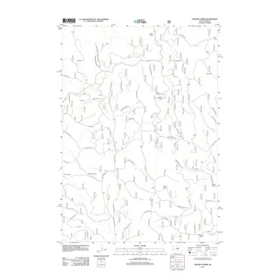
2012 Map of Crooks Tower
USGS Topo · Published 2012About this map
Crooks Tower rises as a central landmark in this high-elevation area of the Black Hills, where a network of forest roads and spring-fed drainages defines the landscape. The map shows the intricate network of the United States Forest Service, including named routes like Tinton Rd and Revell Road. Small clearings and designated areas like Stovehole Park and Well Park punctuate the timbered terrain, while the Clayton Willow Exclosure indicates specific land management practices near Clayton Draw.
Find a feature on this map
70 named features on this map. Tap any name to fly to it.
Don’t see what you’re looking for? This feature index may not catch every label — zoom into the map to look around manually.
Map Details
Editions of this 2012 Crooks Tower Map
This is the sole edition of this map. No revisions or reprints were ever made.
Other maps of this area

1894 · Deadwood
USGS Topo · 1:125,000

1898 · Sundance
USGS Topo · 1:125,000

1900 · Spearfish
USGS Topo · 1:62,500

1901 · Deadwood
USGS Topo · 1:125,000

1902 · Sundance
USGS Topo · 1:125,000

1915 · Spearfish
USGS Topo · 1:62,500

1916 · Deadwood
USGS Topo · 1:125,000

1953 · Rapid City
USGS Topo · 1:250,000

1954 · Gillette
USGS Topo · 1:250,000

1955 · Gillette
USGS Topo · 1:250,000