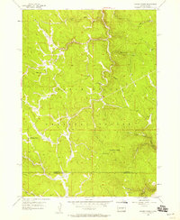
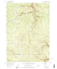
1956 Map of Crooks Tower
USGS Topo · Published 1958About this map
Black Hills National Forest land defines this mid-century topographic record, showing a landscape shaped by water and high-elevation relief. The divide between Lawrence Co and Pennington Co cuts through the southern portion of the map, where Crooks Tower stands as a primary landmark near Crooks Lake. Settlement is sparse, limited to localized outposts such as Maca Camp and the McInerny Ranch, which suggest a reliance on ranching and forestry at the time of the 1956 field check.
Find a feature on this map
21 named features on this map. Tap any name to fly to it.
Don’t see what you’re looking for? This feature index may not catch every label — zoom into the map to look around manually.
Map Details
Editions of this 1956 Crooks Tower Map
5 editions found
Other maps of this area

1894 · Deadwood
USGS Topo · 1:125,000

1898 · Sundance
USGS Topo · 1:125,000

1900 · Spearfish
USGS Topo · 1:62,500

1901 · Deadwood
USGS Topo · 1:125,000

1902 · Sundance
USGS Topo · 1:125,000

1915 · Spearfish
USGS Topo · 1:62,500

1916 · Deadwood
USGS Topo · 1:125,000

1953 · Rapid City
USGS Topo · 1:250,000

1954 · Gillette
USGS Topo · 1:250,000

1955 · Gillette
USGS Topo · 1:250,000