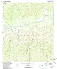
1988 Map of Crosby
USGS Topo · Published 1988About this map
The Homochitto River meanders across this late-twentieth-century landscape, defining the boundary between Franklin and Amite counties. Much of the terrain is managed as part of the Homochitto National Forest, where timber and petroleum resources coexist. Numerous oil wells and drill holes dot the hills, particularly around the settlements of Knoxville and Rosetta. This industrial activity is woven into a rural fabric of small communities and family-named landmarks like Berryhill Cem and Parker Cem.
Find a feature on this map
37 named features on this map. Tap any name to fly to it.
Don’t see what you’re looking for? This feature index may not catch every label — zoom into the map to look around manually.
Map Details
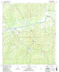
Editions of this 1988 Crosby Map
2 editions found
Other maps of this area

1953 · Natchez
USGS Topo · 1:250,000

1956 · Natchez
USGS Topo · 1:250,000

1959 · Natchez
USGS Topo · 1:250,000

1961 · Liberty
USGS Topo · 1:62,500

1961 · Crosby
USGS Topo · 1:62,500

1961 · Gloster
USGS Topo · 1:62,500

1962 · Bude
USGS Topo · 1:62,500

1984 · McComb
USGS Topo · 1:100,000

1984 · Woodville
USGS Topo · 1:100,000
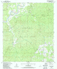
1988 · Homochitto
USGS Topo · 1:24,000