Loading...
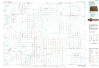
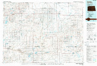
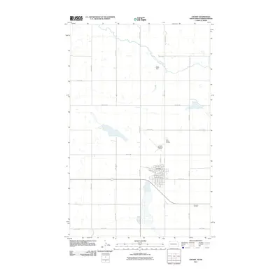
Loading map...1984 Map of Crosby
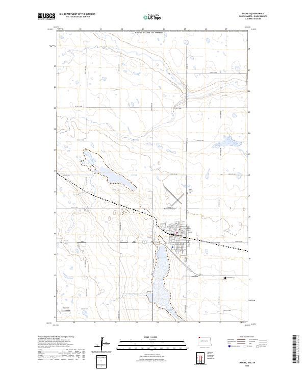
USGS Topo · Published 1988About this map
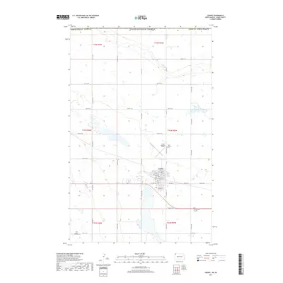
The Canada-United States border defines the northern edge of this North Dakota landscape, punctuated by several northern crossings like the Fortuna Port of Entry and Ambrose Port of Entry. In this corner of Divide County, the agricultural prairie is interspersed with an intricate network of wetlands, sloughs, and small lakes such as Miller Lake and Skermo Lake. The presence of the Fortuna Air Force Station near the town of Fortuna highlights the Cold War-era strategic importance of this borderland.
Find a feature on this map
71 named features on this map. Tap any name to fly to it.
Don’t see what you’re looking for? This feature index may not catch every label — zoom into the map to look around manually.
Map Details
Date Portrayed1984
Date Published1988
PublisherU.S. Geological Survey
Map TypeTopographic
Scale1:100,000
Physical Dimensions35.3 x 24.1 inches
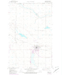
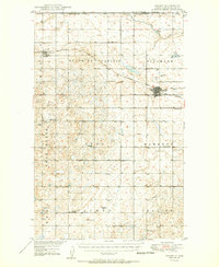
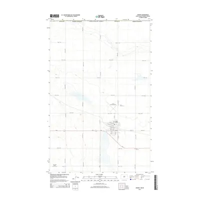
Editions of this 1984 Crosby Map
2 editions found
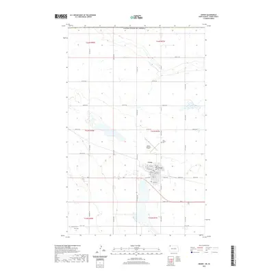
Historical Maps of Crosby Through Time
8 maps found
Featured Locations
Source Details
SourceU.S. Geological Survey
CopyrightPublic Domain