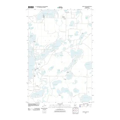
2010 Map of Cross Lake
USGS Topo · Published 2010About this map
Fifty Lakes and the village of Cross Lake anchor this 2010 topographic record of Crow Wing County’s lake country. The area is defined by its complex hydrology, where the Pine River and Daggett Creek link dozens of named water bodies. Human engineering is visible through a series of water control structures, including the Pine River Dam, Eagle Lake Dam, Velvet Lake Dam, and Greer Lake Dam. These sites, along with recreation hubs like the Fifty Lakes Daggett Brook Campground and Crossroads Golf Course, illustrate the region's transition into a premier leisure and residential destination. Genealogists will find the Pinewood Cemetery south of the Crosslake Post Office, while the inclusion of the Fifty Lakes Post Office and numerous local roads like Whitefish Trl and Ox Lake Lndg provides a precise spatial reference for early 21st-century property and community boundaries.
Find a feature on this map
86 named features on this map. Tap any name to fly to it.
Don’t see what you’re looking for? This feature index may not catch every label — zoom into the map to look around manually.
Map Details
Editions of this 2010 Cross Lake Map
This is the sole edition of this map. No revisions or reprints were ever made.
Other maps of this area

1913 · Cuyuna
USGS Topo · 1:62,500

1915 · Cuyuna
USGS Topo · 1:62,500

1953 · Duluth
USGS Topo · 1:250,000

1953 · Brainerd
USGS Topo · 1:250,000

1957 · Brainerd
USGS Topo · 1:250,000

1958 · Brainerd
USGS Topo · 1:250,000

1958 · Duluth
USGS Topo · 1:250,000

1959 · Trommald
USGS Topo · 1:24,000

1959 · Pelican Lake
USGS Topo · 1:24,000

1959 · Lower Whitefish Lake
USGS Topo · 1:24,000