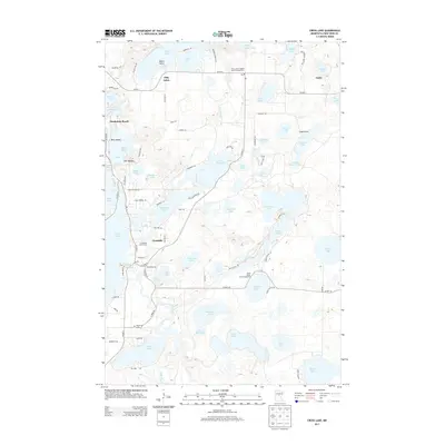
2013 Map of Cross Lake
USGS Topo · Published 2013About this map
Crosslake and Fifty Lakes anchor this labyrinthine landscape of interconnected waterways in Crow Wing County. The map shows a sophisticated recreational infrastructure, including the Fifty Lakes Daggett Brook Campground and Velvet Beach Park Campground, alongside the Crossroads Golf Course. The Pine River flows through the terrain, feeding the Pine River Reservoir and navigating around distinctive features like Berg Island and The Needles.
Find a feature on this map
56 named features on this map. Tap any name to fly to it.
Don’t see what you’re looking for? This feature index may not catch every label — zoom into the map to look around manually.
Map Details
Editions of this 2013 Cross Lake Map
This is the sole edition of this map. No revisions or reprints were ever made.
Other maps of this area

1913 · Cuyuna
USGS Topo · 1:62,500

1915 · Cuyuna
USGS Topo · 1:62,500

1953 · Duluth
USGS Topo · 1:250,000

1953 · Brainerd
USGS Topo · 1:250,000

1957 · Brainerd
USGS Topo · 1:250,000

1958 · Brainerd
USGS Topo · 1:250,000

1958 · Duluth
USGS Topo · 1:250,000

1959 · Trommald
USGS Topo · 1:24,000

1959 · Pelican Lake
USGS Topo · 1:24,000

1959 · Lower Whitefish Lake
USGS Topo · 1:24,000