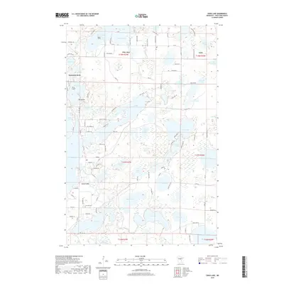
2019 Map of Cross Lake
USGS Topo · Published 2019About this map
Fifty Lakes and Manhattan Beach anchor this lake-dense portion of Crow Wing County, where the landscape is defined by a complex network of interconnected glacial basins and narrow channels. The map illustrates a high degree of modern recreational development, evidenced by the dense grid of residential roads like Butterfield Beach Rd and Woodpecker Point Rd that trace the shorelines of Emily and West Fox Lake. Amidst this seasonal and residential growth, the Pinewood Cem north of Cross Lake remains a significant touchstone for local genealogy.
Find a feature on this map
118 named features on this map. Tap any name to fly to it.
Don’t see what you’re looking for? This feature index may not catch every label — zoom into the map to look around manually.
Map Details
Editions of this 2019 Cross Lake Map
This is the sole edition of this map. No revisions or reprints were ever made.
Other maps of this area

1913 · Cuyuna
USGS Topo · 1:62,500

1915 · Cuyuna
USGS Topo · 1:62,500

1953 · Duluth
USGS Topo · 1:250,000

1953 · Brainerd
USGS Topo · 1:250,000

1957 · Brainerd
USGS Topo · 1:250,000

1958 · Brainerd
USGS Topo · 1:250,000

1958 · Duluth
USGS Topo · 1:250,000

1959 · Trommald
USGS Topo · 1:24,000

1959 · Pelican Lake
USGS Topo · 1:24,000

1959 · Lower Whitefish Lake
USGS Topo · 1:24,000