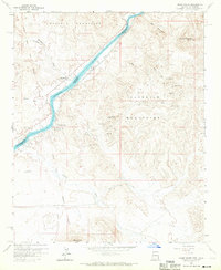
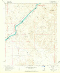
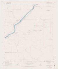
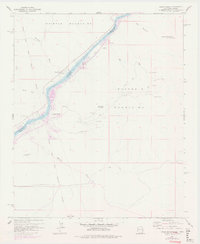
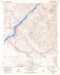
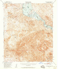
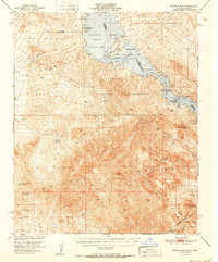
1959 Map of Cross Roads
USGS Topo · Published 1970About this map
The Colorado River serves as the central artery and state boundary in this desert landscape, as it appeared in the late 1950s. On the western bank in California, the Whipple Mountains rise sharply, while the eastern Arizona side is dominated by the Buckskin Mountains. Small riverside settlements like Cross Roads and Empire anchor the riverbank, alongside the marshy terrain of Cienega Springs.
Find a feature on this map
25 named features on this map. Tap any name to fly to it.
Don’t see what you’re looking for? This feature index may not catch every label — zoom into the map to look around manually.
Map Details
Editions of this 1959 Cross Roads Map
5 editions found
Other maps of this area

1911 · Parker
USGS Topo · 1:125,000

1943 · Giers Basin
USGS Topo · 1:62,500

1943 · Whipple Mts.
USGS Topo · 1:62,500

1943 · Parker
USGS Topo · 1:62,500
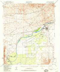
1949 · Parker
USGS Topo · 1:62,500
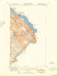
1950 · Parker Dam Area
USGS Topo · 1:62,500
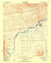
1950 · Parker
USGS Topo · 1:62,500
1950 · Whipple Mts
USGS Topo · 1:62,500
1952 · Whipple Mts
USGS Topo · 1:62,500

1954 · Needles
USGS Topo · 1:250,000