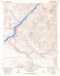
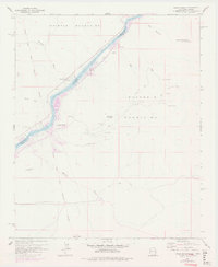
1959 Map of Cross Roads
USGS Topo · Published 1978About this map
The Colorado River serves as the dominant artery and political boundary through this desert landscape, separating San Bernardino County, California, from Yuma County, Arizona. Along its western bank, the settlement of Cross Roads and the desert oasis at Cienega Springs provide evidence of human habitation and travel in an otherwise arid environment. The map details a transition from the riparian environment of Empire Flat to the surrounding peaks of the Whipple Mountains and Buckskin Mountains.
Find a feature on this map
35 named features on this map. Tap any name to fly to it.
Don’t see what you’re looking for? This feature index may not catch every label — zoom into the map to look around manually.
Map Details
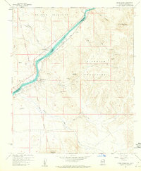
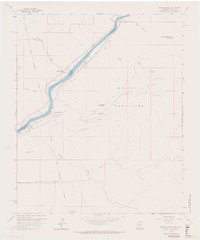
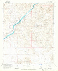
Editions of this 1959 Cross Roads Map
5 editions found
Other maps of this area

1911 · Parker
USGS Topo · 1:125,000

1943 · Giers Basin
USGS Topo · 1:62,500

1943 · Whipple Mts.
USGS Topo · 1:62,500

1943 · Parker
USGS Topo · 1:62,500

1949 · Parker
USGS Topo · 1:62,500

1950 · Parker Dam Area
USGS Topo · 1:62,500

1950 · Parker
USGS Topo · 1:62,500

1950 · Whipple Mts
USGS Topo · 1:62,500

1952 · Whipple Mts
USGS Topo · 1:62,500

1954 · Needles
USGS Topo · 1:250,000