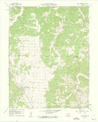
1960 Map of Cross Timbers
USGS Topo · Published 1961About this map
Cross Timbers serves as the primary hub of this 1960 survey, situated at the intersection of local routes near the border of Benton Co Hickory Co. The landscape is defined by the winding drainages of Turkey Creek and Starks Creek, which carve through the Ozark terrain to create a complex network of ridges and hollows. This topography heavily influenced early settlement patterns, with homesteads and community structures like Bethel Ch and Davis Cem positioned on the higher ground between creek valleys.
Find a feature on this map
18 named features on this map. Tap any name to fly to it.
Don’t see what you’re looking for? This feature index may not catch every label — zoom into the map to look around manually.
Map Details
Editions of this 1960 Cross Timbers Map
2 editions found
Other maps of this area

1884 · Bolivar
USGS Topo · 1:125,000

1887 · Warsaw
USGS Topo · 1:125,000

1892 · Bolivar
USGS Topo · 1:125,000

1894 · Warsaw
USGS Topo · 1:125,000

1935 · Edwards
USGS Topo · 1:24,000

1935 · Dell
USGS Topo · 1:24,000

1935 · Knobby Creek
USGS Topo · 1:24,000

1945 · Fristoe
USGS Topo · 1:62,500

1947 · Jefferson City
USGS Topo · 1:250,000
1951 · Hermitage
USGS Topo · 1:62,500