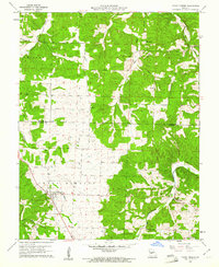
1960 Map of Cross Timbers
USGS Topo · Published 1961About this map
Cross Timbers and the surrounding borderlands of Benton and Hickory Counties are captured in this 1960 field survey. The landscape is defined by a dense network of drainages, including Turkey Creek and Starks Creek, which carve through the terrain of the Fristoe and Jordan townships. The map documents a rural community centered on family landmarks and small local institutions, such as Davis Cem and the Bethel Ch to the north.
Find a feature on this map
16 named features on this map. Tap any name to fly to it.
Don’t see what you’re looking for? This feature index may not catch every label — zoom into the map to look around manually.
Map Details
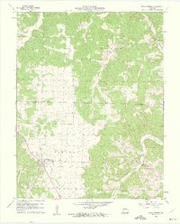
Editions of this 1960 Cross Timbers Map
2 editions found
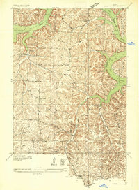
Other maps of this area

1884 · Bolivar
USGS Topo · 1:125,000

1887 · Warsaw
USGS Topo · 1:125,000

1892 · Bolivar
USGS Topo · 1:125,000

1894 · Warsaw
USGS Topo · 1:125,000

1935 · Edwards
USGS Topo · 1:24,000

1935 · Dell
USGS Topo · 1:24,000
1935 · Knobby Creek
USGS Topo · 1:24,000

1945 · Fristoe
USGS Topo · 1:62,500

1947 · Jefferson City
USGS Topo · 1:250,000
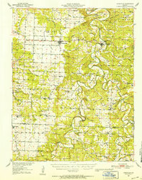
1951 · Hermitage
USGS Topo · 1:62,500