
1947 Map of Crosstown
USGS Topo · Published 1960About this map
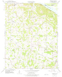
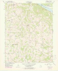
Small rural settlements and decentralized country schools define this Missouri riverfront landscape as it appeared in the late 1940s. The community of Crosstown anchors the northern portion of the sheet, while Farrar, Brazeau, and Frohna are distributed across the hilly interior. This era reveals a remarkably dense network of local education, with schools like Hager Sch, Swan Sch, Eureka Sch, and Trickey Sch serving isolated agricultural neighborhoods. The northeastern corner is dominated by the Mississippi River, where the St Louis San Francisco railroad corridor follows the narrow shelf between the bluffs and the water. Inland, the terrain is dissected by numerous waterways including Omele Creek and Brazeau Creek, with landmarks such as Pleasant Grove Ch marking the established social centers of these historic townships.
Find a feature on this map
22 named features on this map. Tap any name to fly to it.
Don’t see what you’re looking for? This feature index may not catch every label — zoom into the map to look around manually.
Map Details
Editions of this 1947 Crosstown Map
3 editions found
Other maps of this area

1915 · Chester
USGS Topo · 1:62,500

1916 · Campbell Hill
USGS Topo · 1:62,500

1918 · Altenburg
USGS Topo · 1:62,500

1918 · Campbell Hill
USGS Topo · 1:62,500

1923 · Perryville
USGS Topo · 1:62,500

1924 · Perryville
USGS Topo · 1:62,500

1925 · Altenburg
USGS Topo · 1:62,500

1947 · Chester
USGS Topo · 1:62,500

1947 · Oak Ridge
USGS Topo · 1:24,000

1947 · Altenburg
USGS Topo · 1:62,500