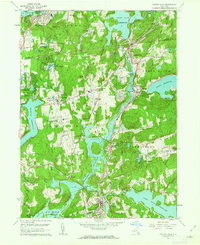
1960 Map of Croton Falls
USGS Topo · Published 1963About this map
The New York Central railroad corridor anchors this mid-century landscape, threading through a complex system of reservoirs that define the northern Westchester and southern Putnam County border. As part of the region's critical water supply infrastructure, the Amawalk Reservoir, Croton Falls Reservoir, and Muscoot Reservoir occupy the valleys between hills like Watermelon Hill and Round Top. The map reveals the area's transition from a rural agricultural past to a residential and institutional hub, featuring specialized facilities such as Lincoln Hall, the Pinewood Sanitarium, and the Baptist Home. Small settlements like Goldens Bridge, Purdy Station, and Lincolndale are shown with their local landmarks, including the Central High School and St Lukes Ch, while family histories are preserved in the locations of Todd Cem and Warren Cem.
Find a feature on this map
56 named features on this map. Tap any name to fly to it.
Don’t see what you’re looking for? This feature index may not catch every label — zoom into the map to look around manually.
Map Details
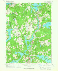
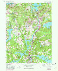
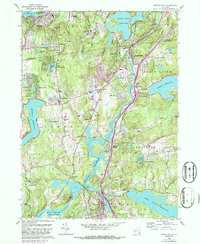
Editions of this 1960 Croton Falls Map
4 editions found
Other maps of this area

1892 · Stamford
USGS Topo · 1:62,500

1892 · West Point
USGS Topo · 1:62,500

1892 · Carmel
USGS Topo · 1:62,500

1892 · Tarrytown
USGS Topo · 1:62,500

1893 · Carmel
USGS Topo · 1:62,500

1893 · Stamford
USGS Topo · 1:62,500

1893 · Tarrytown
USGS Topo · 1:62,500

1894 · West Point
USGS Topo · 1:62,500

1894 · Carmel
USGS Topo · 1:62,500

1899 · Stamford
USGS Topo · 1:62,500