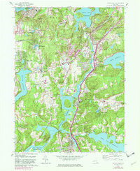
1960 Map of Croton Falls
USGS Topo · Published 1982About this map
Croton River drainage systems dominate this Westchester and Putnam County landscape, defined by a series of massive reservoirs and the tight rail-and-water corridors that shaped northern New York's development. Local hamlets like Croton Falls and Purdy's Station cluster along the Conrail line, reflecting the historical importance of the railroad in connecting these rural areas to the metropolitan center. Significant landmarks such as the John Jay Homestead and the Pinebrook Sanitarium sit among the hills, while numerous cemeteries like Warren Cem and Ivandell Cem offer vital clues for genealogical research. The map illustrates the specialized infrastructure of the New York City water supply, including the Muscoot Reservoir, Titicus Reservoir, and various aqueduct shafts. Small settlements such as Shenorock and Lake Lincolndale show the mid-century residential expansion around existing water bodies like Lake Mahopac.
Find a feature on this map
79 named features on this map. Tap any name to fly to it.
Don’t see what you’re looking for? This feature index may not catch every label — zoom into the map to look around manually.
Map Details
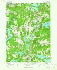
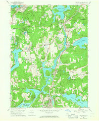
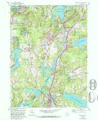
Editions of this 1960 Croton Falls Map
4 editions found
Other maps of this area

1892 · Stamford
USGS Topo · 1:62,500

1892 · West Point
USGS Topo · 1:62,500

1892 · Carmel
USGS Topo · 1:62,500

1892 · Tarrytown
USGS Topo · 1:62,500

1893 · Carmel
USGS Topo · 1:62,500

1893 · Stamford
USGS Topo · 1:62,500

1893 · Tarrytown
USGS Topo · 1:62,500

1894 · West Point
USGS Topo · 1:62,500

1894 · Carmel
USGS Topo · 1:62,500

1899 · Stamford
USGS Topo · 1:62,500