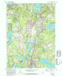
1960 Map of Croton Falls
USGS Topo · Published 1986About this map
Katonah and Somers anchor this northern Westchester landscape during a period of significant suburban expansion and reservoir management. The geography is defined by the massive impoundments of the New York City water supply system, including the Muscoot Reservoir, Croton Falls Reservoir, and Titicus Reservoir. These water bodies dominate the lowlands, forcing transit along corridors like the Conrail line which services stops at Purdys Station and Goldens Bridge.
Find a feature on this map
69 named features on this map. Tap any name to fly to it.
Don’t see what you’re looking for? This feature index may not catch every label — zoom into the map to look around manually.
Map Details
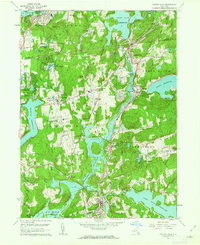
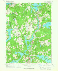
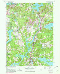
Editions of this 1960 Croton Falls Map
4 editions found
Other maps of this area

1892 · Stamford
USGS Topo · 1:62,500

1892 · West Point
USGS Topo · 1:62,500

1892 · Carmel
USGS Topo · 1:62,500

1892 · Tarrytown
USGS Topo · 1:62,500

1893 · Carmel
USGS Topo · 1:62,500

1893 · Stamford
USGS Topo · 1:62,500

1893 · Tarrytown
USGS Topo · 1:62,500

1894 · West Point
USGS Topo · 1:62,500

1894 · Carmel
USGS Topo · 1:62,500

1899 · Stamford
USGS Topo · 1:62,500