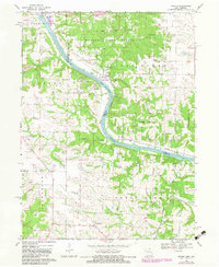
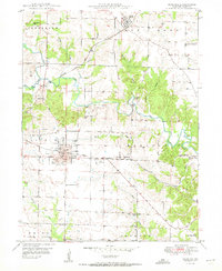
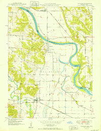
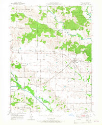
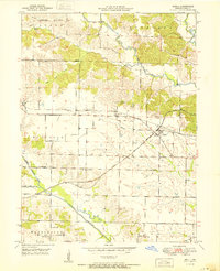
1968 Map of Croton
USGS Topo · Published 1983About this map
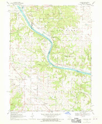
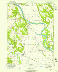
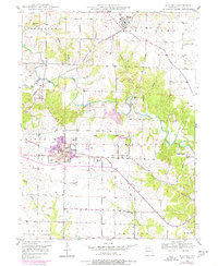
The Des Moines River carves a winding path through the borderlands of Iowa and Missouri, marking the boundary between Lee and Clark counties. This landscape is defined by the intersection of forest conservation and historical memory, notably at Athens State Park and the adjacent Croton Civil War Memorial Park, which commemorates the northernmost battle of the American Civil War west of the Mississippi. To the north, the sprawling tracts of the Shimek State Forest dominate the terrain, interrupted only by the Old Indian Treaty Boundary and the tracks of the Atchison Topeka and Santa Fe railroad.
Find a feature on this map
34 named features on this map. Tap any name to fly to it.
Don’t see what you’re looking for? This feature index may not catch every label — zoom into the map to look around manually.
Map Details
Editions of this 1968 Croton Map
2 editions found
Other maps of this area

1903 · Kahoka
USGS Topo · 1:125,000
1949 · Wayland
USGS Topo · 1:24,000
1949 · Kahoka
USGS Topo · 1:24,000
1950 · Kahoka
USGS Topo · 1:24,000
1950 · Wayland
USGS Topo · 1:24,000
1950 · Medill
USGS Topo · 1:24,000
1951 · Medill
USGS Topo · 1:24,000

1958 · Burlington
USGS Topo · 1:250,000

1961 · Burlington
USGS Topo · 1:250,000

1963 · Burlington
USGS Topo · 1:250,000