
1986 Map of Crowley Dam
USGS Topo · Published 1986About this map
Crowley Dam sits at the heart of this dry Montana landscape, a focal point for water management in an area defined by seasonal drainages and topographic shifts. The terrain is marked by the winding path of Alkali Creek and the deep incisions of Howard Coulee, reflecting a landscape shaped by intermittent water flow and erosion. Mapping efforts by the Geological Survey during the late 1970s and 1980s illustrate the sparsely settled nature of the region, where a solitary Well is one of the few indicators of human infrastructure. The boundary between Petroleum Co and Musselshell Co cuts across the southern portion of the sheet, providing a clear reference for researchers and local historians tracing regional property and administrative lines in this open country.
Find a feature on this map
5 named features on this map. Tap any name to fly to it.
Don’t see what you’re looking for? This feature index may not catch every label — zoom into the map to look around manually.
Map Details
Editions of this 1986 Crowley Dam Map
This is the sole edition of this map. No revisions or reprints were ever made.
Other maps of this area

1954 · Roundup
USGS Topo · 1:250,000

1958 · Roundup
USGS Topo · 1:250,000

1963 · Kelley
USGS Topo · 1:24,000

1963 · Petrolia Lake
USGS Topo · 1:24,000

1963 · Musselshell NW
USGS Topo · 1:24,000

1986 · Flatwillow
USGS Topo · 1:24,000

1986 · Big Wall NW
USGS Topo · 1:24,000
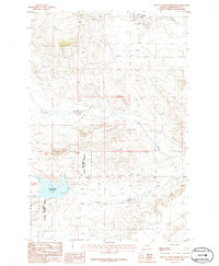
1986 · Yellow Water Reservoir
USGS Topo · 1:24,000
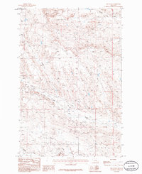
1986 · Jim Coulee
USGS Topo · 1:24,000
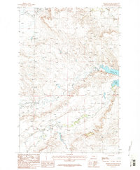
1986 · Winnett South
USGS Topo · 1:24,000