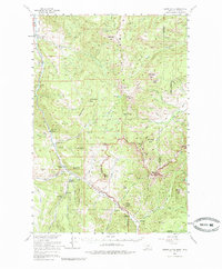
1955 Map of Crown Butte
USGS Topo · Published 1985About this map
The Gallatin River corridor serves as the primary artery for settlement and commerce in this mid-century survey of the Montana-Wyoming border region. Established guest ranches and mountain retreats such as Porcupine Ranch, Elkhorn Ranch, and Almart Mtn Lodge are clustered along the river valley, indicating the area's development as a destination for outdoor recreation and lodging. Education and administrative services are anchored by the Ophir Sch and the Gallatin Ranger Station, while several remote outposts like Cinnamon Sta and Sage Creek Sta dot the lower elevations.
Find a feature on this map
60 named features on this map. Tap any name to fly to it.
Don’t see what you’re looking for? This feature index may not catch every label — zoom into the map to look around manually.
Map Details
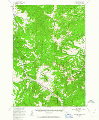
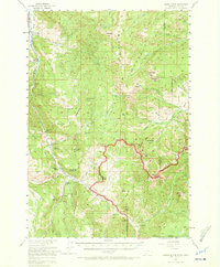
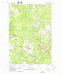
Editions of this 1955 Crown Butte Map
5 editions found

Other maps of this area

1885 · Gallatin
USGS Topo · 1:125,000

1885 · Gallatin
USGS Topo · 1:125,000

1888 · Three Forks
USGS Topo · 1:250,000

1891 · Livingston
USGS Topo · 1:250,000

1893 · Livingston
USGS Topo · 1:250,000

1894 · Three Forks
USGS Topo · 1:250,000

1895 · Three Forks
USGS Topo · 1:250,000

1901 · Gallatin
USGS Topo · 1:125,000

1908 · Gallatin
USGS Topo · 1:125,000

1911 · Gallatin
USGS Topo · 1:125,000